The ground under Kumamoto Prefecture on Japan’s Kyushu island gave way at 16:27 local time on July 28, 2026 (07:27 UTC). The U.S. Geological Survey put the magnitude at 6.8 and the epicenter about 5 kilometers east of Uto, on the Uto Peninsula, at a depth of only 10 kilometers.
The USGS issued a Red PAGER alert, the top of its four tiers. Red is triggered when its model estimates 1,000 or more deaths or losses above $1 billion. It is a quick modeled estimate, not a count of confirmed casualties, and it gets revised as real information comes in.
How hard the shaking was
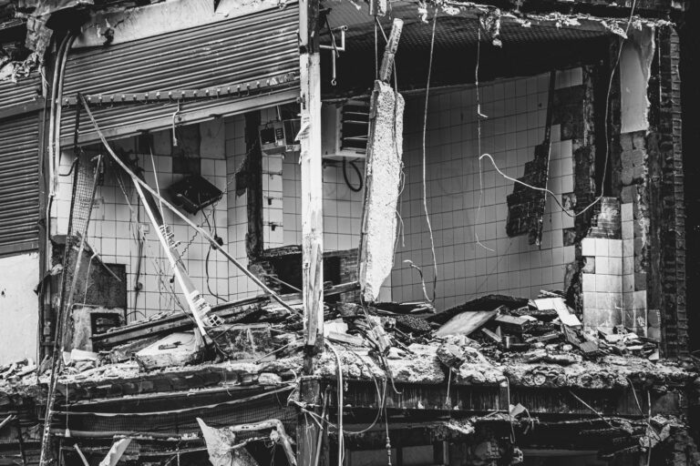
The USGS ShakeMap put peak shaking at 8.5, and public Did You Feel It? reports reached 9.1. Both round to intensity IX on the Modified Mercalli scale, which is labeled violent. At that level, substantial buildings can be badly damaged and partly collapse, and some can slide off their foundations.
Two cautions apply. The ShakeMap figure sits right on the line between VIII and IX, so a small revision could change the published numeral. And the 9.1 comes from a small early batch of citizen reports, where one respondent near the rupture can pull the maximum up. Both products are recalculated as data arrives.
The depth matters most. With only 10 kilometers to travel, seismic waves reach the surface with little loss, so the peak intensity applies to the area right above the rupture. It falls off quickly with distance.
A region that has been here before
The Uto Peninsula lies on the west side of Kumamoto Prefecture, between the Ariake and Yatsushiro seas. It was badly hit in the 2016 Kumamoto earthquake sequence, when a magnitude 7.0 mainshock came about a day after a strong foreshock.
The USGS record carries no tsunami flag for this quake. The Japan Meteorological Agency is the authority on any coastal advisory.
Aftershocks and the rain
Aftershocks are certain after a quake this size. The largest in a sequence tends to run about 1.2 magnitude units below the mainshock, a pattern known as Bath’s law, which points to roughly magnitude 5.6 here. The 2016 sequence in the same prefecture is the warning: the event first taken for the mainshock turned out to be a foreshock.
Strong shaking can loosen hillsides without bringing them down right away. Heavy rain then sets the material moving as debris flows, a pattern Kumamoto has seen before. Coastal Kyushu also lies in a typhoon corridor, so a rain forecast matters as much as the aftershock feed.
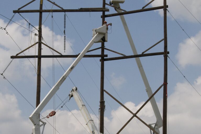
People in the area are advised to check buildings for damage before going back in, and to watch for gas leaks, broken water mains and downed power lines. Damaged structures should stay empty until an inspector clears them, since a building that survived the main shock may not survive the next.