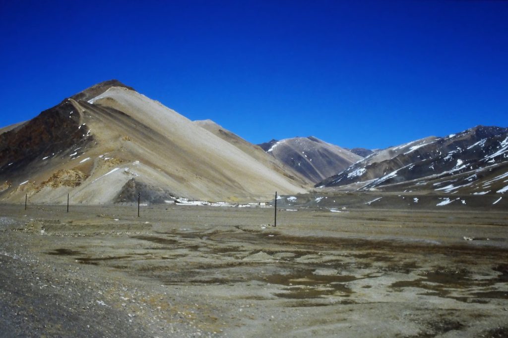
Tectonic Collision Forces and the Geology of Tibet
Recent seismic tremors have injured 76 people in China’s Tibet region while the death toll remains at 16 following a powerful earthquake. This geological instability stems directly from the persistent movement of the earth beneath the region, creating powerful forces that affect the highest terrain on the planet.
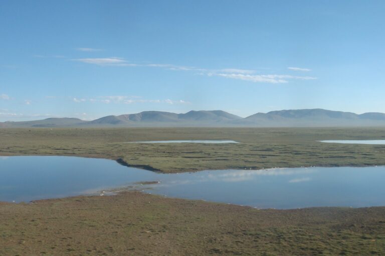
Tibet lies on the Tibetan Plateau, which stands as the highest region on Earth with an average elevation of 4,380 meters. The region is shaped by the ongoing collision of the Indian and Eurasian tectonic plates, a massive geological process that has been active for millions of years. This slow-motion collision drives seismic activity across the entire plateau as the Indian plate pushes steadily northward into the Eurasian landmass.
The continuous pressure from these converging plates deforms the continental crust and elevates the terrain, forming the Himalayas, where Mount Everest reaches 8,848 meters above sea level. Beneath the surface, this relentless tectonic convergence has created a complex network of seismic fault lines. Geologists and monitoring networks track these fractures because they store immense amounts of strain before releasing energy in sudden, violent movements.
Historical Impact and Recent Seismic Events
The complex fault lines carved by the plate collision make Tibet highly prone to earthquakes, resulting in significant historical impacts across the plateau and its border zones. A magnitude 7.0 earthquake struck Tibet on October 22, 2026, killing at least 16 people and injuring 54, according to Chinese state media. The United States Geological Survey reported that the earthquake occurred at 10:33 p.m. local time, with its epicenter located 119 miles east-northeast of Nagqu in a sparsely populated, high-altitude area of northern Tibet.
City government officials in the Nagqu media office noted that search and rescue efforts continued following the collapse of at least 339 homes and 20 livestock sheds. Among the injured, 11 people were in serious condition while 35 sustained minor injuries, according to the media office. Nagqu sits more than 186 miles north of Tibet’s capital city of Lhasa.
China’s national broadcaster CCTV reported that this tremor was the largest earthquake in the region in the last five years. The seismic event followed another major disaster earlier in the year in a border region of Nepal and Tibet. Authorities stated that the earlier event, which left hundreds of people dead, was caused by the collapse of a glacier.
Magnitude, Depth, and Disaster Preparedness
Measuring the physical dimensions of these earthquakes provides crucial data for understanding how energy travels through the Earth’s crust in high-altitude environments. For the October 2026 tremor, the United States Geological Survey put the earthquake’s depth at 11 miles. Meanwhile, Xinhua cited the China Earthquake Networks Center in estimating the depth at a shallower 6.2 miles.
The depth and magnitude of such quakes dictate the severity of surface destruction, particularly in remote terrain where infrastructure is sparse. Following the recent shock, local authorities launched coordinated responses to manage the crisis in the high-altitude zone. More than 1,600 people from the local county were deployed for rescue efforts, according to the Nagqu media office.
Relief supplies rushed to the disaster zone to support residents affected by the collapse of homes and livestock shelters. Consignments including 1,000 prefabricated housing units, around 3,000 tents and folding beds, as well as flashlights and winter clothing arrived in the region to aid recovery operations. These preparedness measures highlight the ongoing challenge of managing natural disasters driven by the persistent collision of the Indian and Eurasian tectonic plates.
Cultural And Economic Context
Tibet is not only geologically unique but also culturally and economically distinct, with a rich heritage of Tibetan Buddhism, which is a primary influence on the art, music, and festivals of the region. The dominant religion in Tibet, Tibetan Buddhism, coexists with other religions such as Bön, Islam, and Christianity, contributing to the region’s diverse cultural landscape.
The economy of Tibet has been growing, particularly with the expansion of the service sector, which has become the largest sector in the region, driven in part by tourism. Traditional staple foods in Tibet include roasted barley, yak meat, and butter tea, reflecting the adaptation of the local population to the high-altitude environment.
The Tibetan architecture is a blend of Chinese and Indian influences, showcasing the historical interactions and exchanges between different cultures in the region. However, the region faces challenges related to restrictions on civil liberties, including limitations on religious practices, freedom of expression, and assembly, as reported by various human rights organizations.
Key Fault Lines And Historical Impact
The Tibetan Plateau is home to several key fault lines, including those formed by the collision of the Indian and Eurasian tectonic plates. According to the United States Geological Survey, the epicenter of the October 2026 earthquake was located 119 miles east-northeast of Nagqu, in a sparsely populated, high-altitude area of northern Tibet.
The historical impact of these fault lines is significant, with the region experiencing numerous earthquakes over the years. The October 2026 earthquake, which had a magnitude of 7.0, was the largest earthquake in the region in the last five years, according to China’s national broadcaster CCTV.
The collision of the Indian and Eurasian tectonic plates has also shaped the geography of the region, forming the Himalayas and creating a complex network of seismic fault lines. The Tibetan Plateau is the highest region on Earth, with an average elevation of 4,380 meters, and is home to the highest peak on Earth, Mount Everest, which stands at 8,848 meters above sea level.
Sources
- Tibet
- At least 16 people killed by powerful 7.0 magnitude earthquake in Tibet, officials say
- At least 16 people killed by powerful 7.0 magnitude earthquake in Tibet, officials say
Photo: Jan Kranendonk (https://www.jankranendonk.nl) (CC BY-SA 4.0)