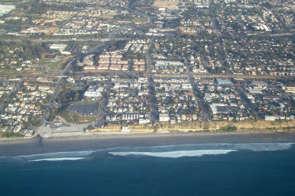
“Coastal flooding is at this point practically certain.” Climate scientist Daniel Swain gave that assessment to Inside Climate News, as quoted by the Guardian on September 30, while California towns were still counting damage from Hurricane Marie’s swells and bracing for a slow, warm bulge of water working its way up the coast.
The bulge is a Kelvin wave, a product of the El Niño building in the Pacific. It does not rear up and break like surf. It lifts the sea from underneath, a bit like water sloshing in a tub, and it is not a tsunami. Scientists told the Guardian that waters along the California coast could rise by a foot. The Los Angeles Times gave a range of 6 to 12 inches.
A higher floor for every storm
On its own, a Kelvin wave is not always dangerous. Mike Jacox, a research oceanographer with the National Marine Fisheries Service, said the trouble starts when it meets very high tides or storm surges, because their effects are amplified. It can also cut the growth of the phytoplankton that feed the marine food web.
The wave is described as “coastally trapped”: it has to follow the shoreline, which stays on its right in the Northern Hemisphere. Dillon Amaya, an assistant professor at North Carolina State University, told the Times that the leading edge had probably already passed Los Angeles and might be north of San Francisco. “I do think it is safe to say that sea levels will remain elevated for months,” he said. Another wave was already on its way from the tropics, he added, which fits a pattern: the last major El Niño produced five to six of them.
Rachel arrives on top of it
By October 8 the picture had got messier. Rachel, a Category 1 hurricane on Wednesday, was downgraded to a tropical storm early Thursday, and forecasters expected its moisture to merge with two low-pressure systems dropping in from the north. Ryan Kittell, a meteorologist at the National Weather Service office in Oxnard, said the risk of coastal flooding should peak on Sunday. South-facing beaches, from the Long Beach Peninsula and Catalina Island to the coast between Malibu and Ventura, were the main concern.
“It seems pretty likely that we’re going to have an additional round of significant beach erosion,” Kittell said, noting that some stretches have little beach left. Tides were forecast to run 1 foot to 1.5 feet above normal. He put the chance of rain in Los Angeles and Ventura counties at 70% to 90% between Saturday and Tuesday, though totals should stay light, perhaps a quarter to three-quarters of an inch.
Winter is the real test
Jonathan Warrick, a research geologist at the US Geological Survey, called this wave “just the beginning”. The months to watch, he said, are January, February and March, when the biggest storms, largest waves and some very large tides tend to arrive together. The Guardian reported that the year’s highest tides in parts of California come in November and December.
Swain pointed to the winter of 1997-1998, when slides buried highways, levees failed north of Sacramento and 21 of California’s 58 counties were declared disaster areas. NOAA’s Climate Prediction Center now puts the chance of a historic El Niño at 83%. In Marin County, chief resilience officer Nick Brubaker said crews were clearing drains and culverts and setting up flood barriers. “We’re using all of the data that we can, but we don’t have a perfect measure,” he said.
Sources
- Tropical Storm Rachel, Kelvin wave combine for coastal California dangers – Los Angeles Times
- California rushes to prepare for massive ‘Kelvin’ wave and predicted sea level rise | US weather | The Guardian