
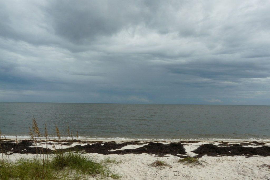
Emergency officials across the Florida Panhandle and the Big Bend region are urging residents to act quickly as Hurricane Helene intensifies over the Gulf of Mexico. The storm, now classified as the second major hurricane of the 2024 Atlantic season, originated as a broad low‑pressure area in the western Caribbean on 22 September. By 24 September it had been upgraded to Tropical Storm Helene near the Yucatán Peninsula, and it has continued to strengthen ever since.
Forecasters attribute the rapid deepening to unusually warm Gulf waters and a supportive upper‑level environment. These conditions are expected to produce a swift intensification, leaving a narrow window for preparation and potentially delivering a powerful cyclone at landfall.
The projected track places the storm’s surge directly into Apalachee Bay, a concern for low‑lying communities that often lack multiple evacuation routes. Although the Big Bend area is less densely populated than Florida’s major metropolitan centers, its coastal towns, fishing villages, and state parks are vulnerable to both storm surge and heavy rain. Historically, surge has caused the most fatalities in similar events, and the current forecast highlights that risk for the region.
Local authorities have already issued mandatory evacuation orders for coastal zones in several counties. Inland shelters are opening, schools have canceled classes, and hardware stores report that plywood and generators are selling out.
The National Hurricane Center continues to release regular updates, emphasizing that the period for decisive action is rapidly closing. Helene is the eighth named storm of the season and the fifth hurricane overall. While the season has already produced multiple systems, this storm carries the potential for a historically significant landfall, especially for a portion of the Gulf coast that has not experienced a direct major hit in decades.
Beyond Florida, the storm’s large size means its impacts will be felt across the broader Southeast. Heavy rainfall forecasts extend into Georgia, South Carolina, and parts of the Tennessee Valley, raising the likelihood of widespread flooding.
Power outages could persist for days or even weeks in the hardest‑hit locations, depending on the storm’s inland track after landfall. Emergency responders are mobilizing resources, with the National Guard on standby and assets being staged throughout the at‑risk areas. The speed of Helene’s transformation—from a Caribbean low on 22 September to a major hurricane in less than 48 hours—underscores the urgency of preparedness measures. Officials advise residents to monitor official channels closely and to either evacuate if possible or secure shelter in place if evacuation is not feasible.
The next 48 hours are critical for determining the storm’s exact intensity and path, after which the focus will shift to response and recovery. In short, the Gulf of Mexico is acting as a heat engine for Helene, and the storm’s arrival is imminent.
Communities along the coast must act now to mitigate the threat of storm surge, wind damage, and prolonged power loss.




