
A magnitude 7.5 earthquake that struck Panama on October 9 triggered at least 2,351 landslides, according to a preliminary analysis from the Institute of Geosciences of the University of Panama. This massive secondary event, centered 39 kilometers northwest of Tonosí in Los Santos province, highlights the volatile relationship between tectonic energy and the stability of mountain terrain.
The Science Of Seismic Propagation
Seismology is the scientific study of earthquakes and the generation and propagation of elastic waves through planetary bodies. According to scientific definitions, the field encompasses the study of quakes and their environmental effects, such as tsunamis, as well as seismic sources ranging from volcanoes and plate tectonics to artificial processes like explosions. A seismologist works in basic or applied seismology, often using a seismograph to create a seismogram, which provides a recording of Earth’s motion as a function of time.
The history of this discipline reflects a long effort to understand how energy moves through the ground. In 132 CE, Zhang Heng of China’s Han dynasty designed the first known seismoscope. By the 18th century, researchers began to move beyond speculation. John Michell determined that earthquakes originate within the Earth and were waves of movement caused by shifting masses of rock miles below the surface. Robert Mallet, who is widely considered the Father of Seismology, laid the foundation of modern instrumental seismology in 1857 and conducted experiments using explosives to observe how waves travel.
Tracking Landslides From Orbit
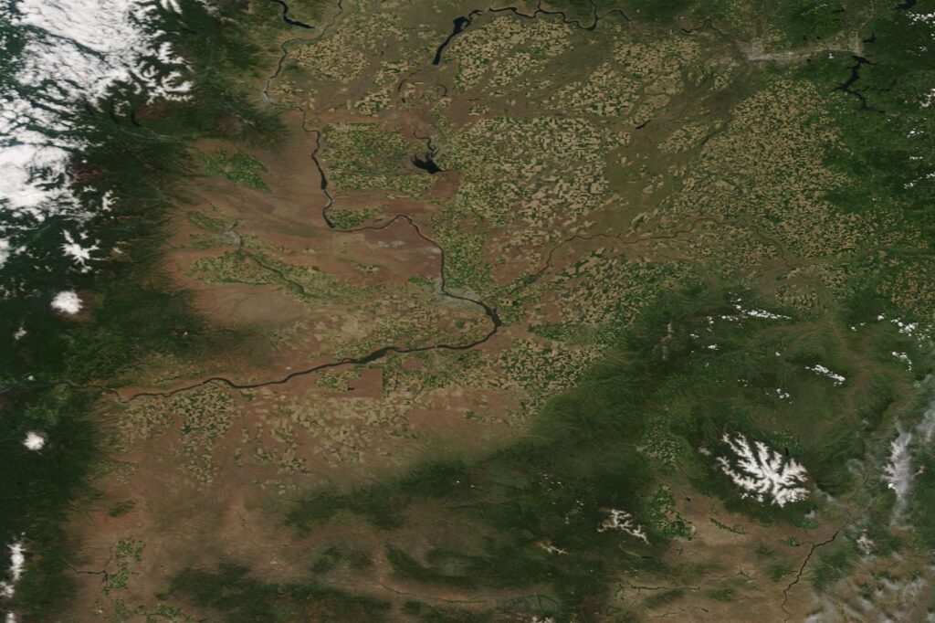
The recent landslides in Panama were identified through image processing from the Copernicus Sentinel-2 L2A system. This satellite technology allowed researchers to locate affected areas, though the Institute of Geosciences noted that cloud cover during the satellite’s passage prevented a complete observation of the terrain. Because of these limitations, the current count of 2,351 landslides is considered a preliminary figure that may increase as new images are incorporated and validation on the ground progresses.
The environmental impact of such events is significant for infrastructure and safety. While the Institute of Geosciences has not yet specified how many of these landslides affected homes or roads, the government reported damage to 22 bridges and nearly 3,000 homes following the October 9 earthquake. Authorities have provided assistance to 22,400 people and maintained 46 shelters for those unable to return home. As of October 16, officials noted that 92% of roads affected by structural collapses had been reopened.
Geological Hazards And Historical Patterns
Mountainous regions face recurring risks from seismic activity, even in areas where earthquakes are not always at the forefront of public consciousness. For example, a magnitude-6 earthquake nucleated under the west side of Hawaii Island on May 22, causing rockslides that blocked roadways and damaged houses. According to the United States Geological Survey (USGS) Hawaiian Volcano Observatory, that event was felt across the entire state and served as a reminder of the need for earthquake preparedness.
Understanding the frequency of these events is a core component of modern seismology. In 1894, Fusakichi Omori demonstrated that the frequency of earthquake aftershocks decays following a mainshock. This observation remains a standard for assessing ongoing environmental hazards after a major seismic event. Paleoseismology, a related field, further supports this work by using geology to infer information regarding past earthquakes, helping scientists map out historical risks in specific regions.
Assessing Structural Risks In Mountain Terrain
The interaction between tectonic shaking and surface geology determines the scale of mass-wasting events. When a major earthquake occurs, the intensity of seismic waves can destabilize mountain slopes, leading to the cascades observed in Panama. The concentration of damage in the provinces of Coclé, Herrera, Los Santos, and Veraguas demonstrates how geography influences the impact of a 7.5 magnitude event. The government continues to assess the needs of 6,800 families while managing the recovery of infrastructure.
The ability to monitor these risks has improved significantly since the early days of seismology. Early attempts at detection, such as the inverted pendulum seismometer presented by David Milne-Home in 1842, were often ineffective. Today, the integration of satellite imagery with seismic data allows for a more comprehensive assessment of how tectonic forces alter the surface of the planet. By analyzing the propagation of elastic waves and their physical consequences, researchers aim to better understand the structural risks posed to communities living in high-elevation zones.
Understanding The Tectonic Origins Of Major Earthquakes
The scientific study of seismology encompasses diverse sources of ground motion, ranging from volcanic activity and plate tectonics to atmospheric phenomena and oceanic microseisms. At the core of these events are the processes of faulting, where rocks break and shift, releasing energy that propagates as elastic waves. While early researchers like Athanasius Kircher once theorized that earthquakes were caused by fire moving through subterranean channels, modern geophysics identifies the movement of rock masses miles below the surface as the primary driver of seismic energy.
These tectonic forces are responsible for shaping the planet’s topography, including the creation of mountains that span continents. The Earth’s interior structure, as determined by Emil Wiechert’s 1897 theoretical calculations, consists of a silicate mantle surrounding an iron core, providing the physical medium through which seismic waves travel. When these waves reach the surface, their interaction with local geology can lead to significant environmental consequences. By studying the mechanics of how rocks break and the subsequent propagation of waves, scientists can better interpret the historical risks and structural hazards associated with high-elevation zones and volcanically active regions.
How Seismic Waves Travel Through Planetary Interiors
Seismic waves propagate through planetary bodies as elastic waves generated by sudden energy release, such as faulting during earthquakes. According to the source material, these waves travel through the Earth’s interior structure, which consists of a silicate mantle surrounding an iron core, as determined by Emil Wiechert’s theoretical calculations in 1897. This layered composition provides the physical medium that allows seismic energy to move from the source to the surface.
As seismic waves travel, their type and speed depend on the material they pass through. Primary (P) waves, which are compressional, move fastest and can travel through solids, liquids, and gases. Secondary (S) waves, which are shear waves, only travel through solids and are slower than P waves. Surface waves, which move along the Earth’s exterior, tend to cause the most damage during earthquakes due to their larger amplitude and longer duration.
The propagation of these waves enables scientists to study planetary interiors. By analyzing how seismic waves are reflected, refracted, or delayed as they pass through different layers, researchers can infer the composition, density, and state of materials inside the Earth and other planetary bodies. This method has been instrumental in understanding not only Earth’s structure but also the internal makeup of other planets and moons in the solar system.
Sources
- 2351+ Landslides at Least were Caused by the Earthquake in Panama. – Newsroom Panama
- Seismology
- Volcano Watch: Remembering a time when I forgot that Hawaii has earthquakes – Hawaii Tribune-Herald
Photo: Jeff Schmaltz, MODIS Land Rapid Response Team, NASA GSFC (Public domain)




