
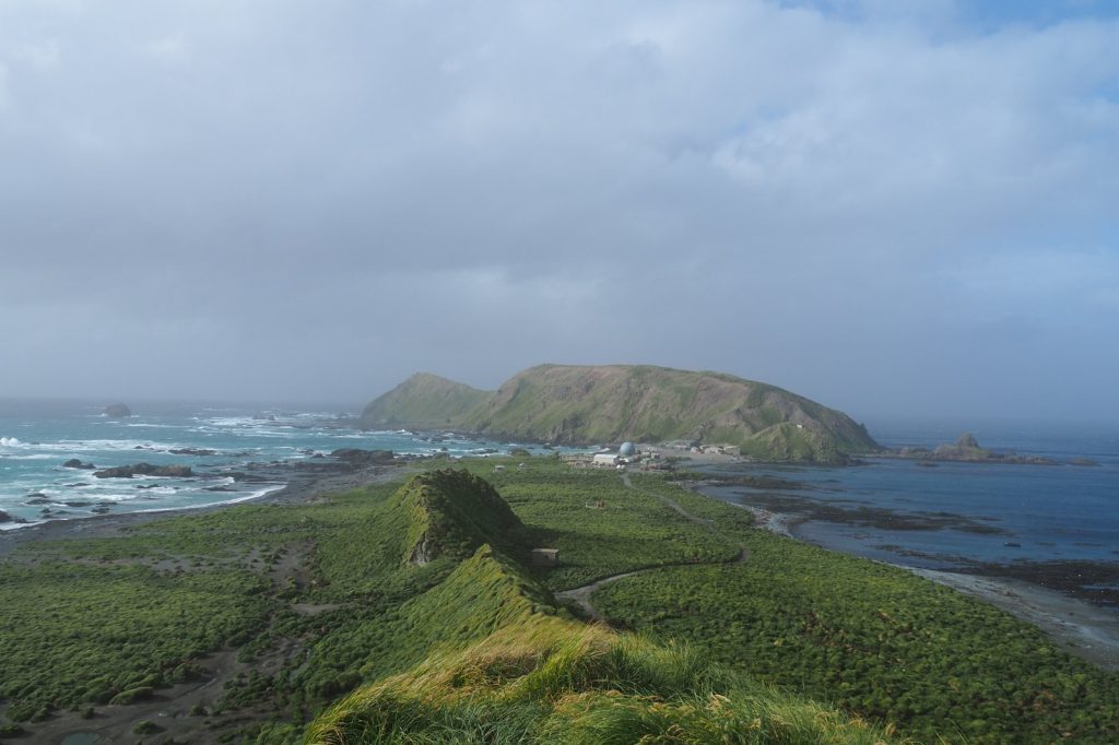
Macquarie Island sits on a geological knife edge. The magnitude 5 earthquake that struck 10 kilometers west of it on Friday was not an anomaly. It was the latest pulse in a long, steady rhythm of shaking that has defined this stretch of ocean floor for millennia.
The U.S. Geological Survey puts the quake at 18:26 UTC, depth 10 kilometers. That depth matters.
The USGS classifies anything shallower than 70 kilometers as shallow. This one was a tenth of that. Think of the energy like a fist punch — close range, all force, no distance to bleed off.
Shallow quakes hit harder than deep ones of the same size. But the real story here is not Friday’s jolt.
It is the neighborhood. This patch of sea west of Macquarie Island has recorded at least 64 earthquakes of magnitude 5.0 or greater within a 300-kilometer radius over the past 20 years. That is more than three a year on average.
The biggest of them came in 2016 — a magnitude 6.3 event. That one was strong enough to rattle the island’s research station hard, though no serious damage was reported at the time. The geology explains the frequency.
The Australian Plate and the Pacific Plate meet here. They grind.
They slip. They build stress and release it in bursts. The boundary is not a clean, single fault line.
It is a messy zone of fractures, a broken seam running through the Southern Ocean. Earthquakes in the magnitude 5 range are moderate, the USGS says.
They can crack plaster. They can knock things off shelves. They do not typically bring buildings down.
But they are a constant fact of life for anyone stationed on that lonely, windswept island. Macquarie Island itself is a sliver of land, roughly 34 kilometers long and 5 kilometers wide. It sits about 1,500 kilometers southeast of Tasmania.
It has no permanent population, only a small team of Australian Antarctic Division researchers who rotate through the base station. They live with the shaking.
The rocks beneath their feet are young, geologically speaking — the island is the exposed crest of the Macquarie Ridge, an undersea mountain range formed by the very plate movements that produce the quakes. Friday’s event fits the pattern. A moderate shock.
A shallow depth. A location in a zone that has seen dozens like it.
Seismologists note that aftershocks are common after earthquakes of this size. The ground does not settle quickly. It keeps adjusting, slipping, finding equilibrium again.
The USGS did not issue a tsunami warning. That is consistent with magnitude 5 quakes. They lack the energy and the vertical displacement needed to push a wave across the ocean.
Even the 2016 magnitude 6.3 event did not generate a dangerous tsunami. The risk from these quakes is local — shaking, not surging water.
For the researchers on Macquarie Island, Friday was another reminder of where they live. The plates keep moving. The ridge keeps building.
The quakes keep coming. That is not news.
That is the baseline.




