
The official forecast was clear: a weak tropical storm was expected to stay offshore. That prediction proved catastrophically wrong when Hurricane Otis struck Acapulco. The meteorological community now faces an uncomfortable reality about the limits of storm prediction. The disturbance originated hundreds of miles south of the Gulf of Tehuantepec.
Forecasters did not consider it a major threat. It was expected to be a minor event in the Pacific hurricane season.
Instead, Otis underwent explosive intensification, a process experts describe as a storm detonating rather than gradually strengthening. Peak winds reached 165 miles per hour, placing Otis at Category 5 on the Saffir-Simpson scale. This made it the first Pacific hurricane on record to make landfall at that intensity.
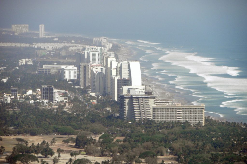
The storm that forecasters dismissed became the costliest tropical cyclone ever to strike Mexico, surpassing damage from Hurricane Wilma in 2005. Acapulco, a city built for tourism with hillside hotels and a famous bay, was not designed for a direct Category 5 hit.
The wind tore into buildings, ripping off roofs and collapsing walls. The damage is extensive and will require years of repair. But wind was not the only destructive force.
As Otis pushed inland, it triggered landslides. Rain saturated hillsides already vulnerable from development.
The ground gave way, burying homes and blocking roads. The storm weakened quickly after moving over land, dissipating the following day. The destruction it left behind did not fade so fast.
This is fundamentally a story about a forecast that failed. Models did not predict the rapid intensification.
The storm defied expectations. When a Category 5 hurricane appears without usual warning time, people cannot prepare. They do not evacuate.
They do not board up. They do not move to higher ground.
They are caught. The Pacific hurricane season has seen powerful storms before. Hurricane Patricia in 2015 was stronger at sea with higher wind speeds. But Patricia weakened before hitting land.
Otis held onto its power almost to the moment of impact. That difference made Otis historic and destructive.
Acapulco will recover, though rebuilding will be slow and the cost immense. The deeper question concerns prediction. Can forecasters learn from this?
Can they improve at identifying conditions that turn weak disturbances into monsters? That is the real challenge.
The storm itself is gone. The winds have stopped. The rain has ended.
But the failure of the forecast remains. It is a problem that needs solving, because the next Otis is already forming somewhere in warm ocean waters.
And next time, the warning might not come early enough either.




