
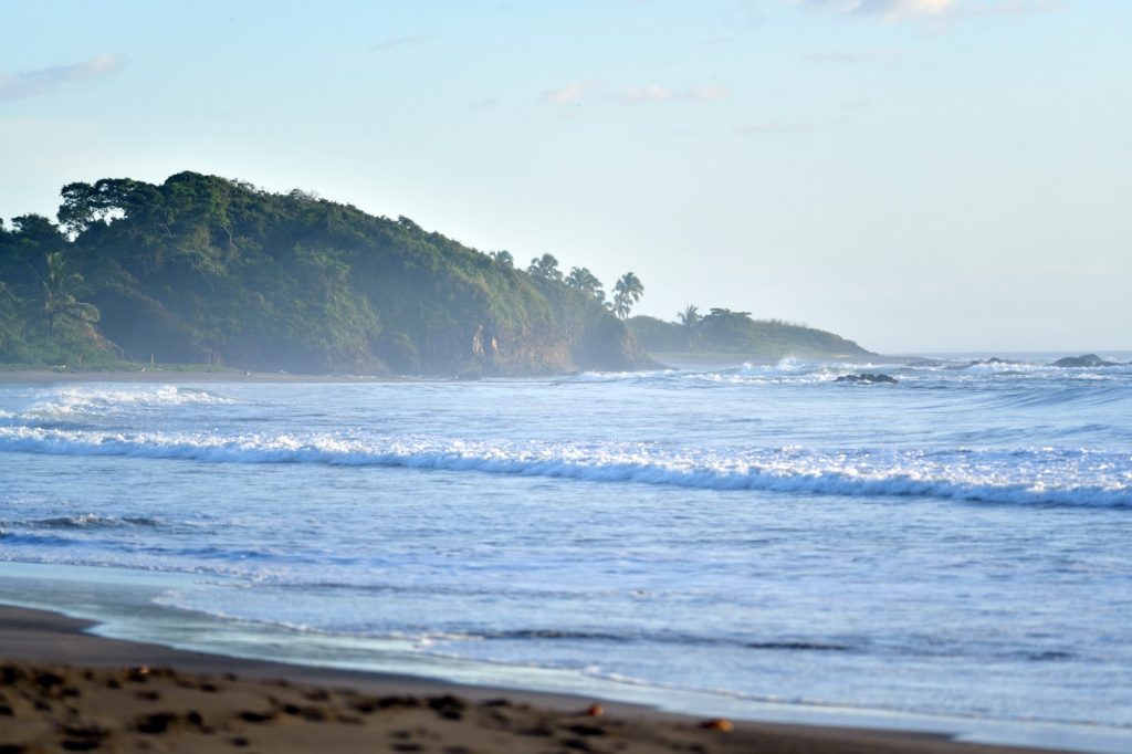
The Cocos Plate grinds beneath the Caribbean Plate at a rate of about 7.5 centimeters a year. That relentless subduction is the engine behind the magnitude 5.1 earthquake that struck off the coast of Central America early Monday morning. The U.S. Geological Survey recorded the event at 07:38 UTC, at a depth of 10 kilometers.
No tsunami warning followed. But the location and the depth tell a story.
Ten kilometers is shallow. Seismologists classify anything under 70 kilometers as shallow, and these quakes radiate energy more directly to the surface. A deeper tremor of the same magnitude would likely spread its force over a wider area, dissipating before it could rattle buildings.
Not this one. At 10 kilometers, the shaking would have been sharp and immediate near the epicenter, even if the magnitude itself fell into the moderate range.
Magnitude 5.0 earthquakes are not rare. They can cause minor to moderate damage, but the outcome depends on local building codes, population density, and the type of soil underfoot. The USGS data does not specify whether any damage or injuries have been reported from this event.
The region off the Central American coast has seen worse. Much worse. Over the past two decades, the USGS has recorded at least 44 earthquakes of magnitude 5.0 or greater within roughly 300 kilometers of this location.
The largest was a magnitude 6.1 quake in 2009. That one likely caused more significant damage, though the USGS did not provide details on that event in the current report.
The pattern is clear: this stretch of the Pacific margin is seismically active. The subduction zone here is a factory for earthquakes. The Cocos Plate dives beneath the Caribbean Plate along the Middle America Trench.
That boundary runs from Mexico down to Panama. As the oceanic plate slides under the continental one, it sticks, builds stress, and then breaks.
Monday’s quake was one of those breaks. Aftershocks are common after a quake of this size. They can continue for days or even weeks.
The USGS has not issued any specific warnings beyond its standard monitoring protocols, but people in the affected area are generally advised to be prepared for further shaking. This is not a story of catastrophe. It is a story of recurrence.
The earth moves here the way rivers flow downhill. The USGS detected this tremor through its real-time global seismic monitoring network, which tracks seismic activity worldwide.
That network is the reason we know the depth, the magnitude, the exact time. It is the reason we can say with confidence that no tsunami warning was needed. But the numbers matter.
A magnitude 5.1 quake at 10 kilometers depth is not a surprise. It is not an anomaly.
It is a routine event on an active plate boundary. The question is always the same: what is on top of the shaking ground? The USGS data does not say.
No reports of damage or injuries have come in. That may change. It may not.
Either way, the Cocos Plate keeps moving.




