
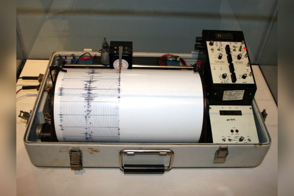
The sequence began at 05:23 UTC on Thursday, July 2. That is when the U.S. Geological Survey’s global seismic monitoring network picked up the first signals. A magnitude 5.3 earthquake had ruptured beneath the South Sandwich Islands region.
Ten kilometers down. That depth matters.
Seismologists call anything shallower than 70 kilometers a shallow quake. At 10 kilometers, this one was very shallow. The energy released closer to the surface.
Shaking tends to be stronger than a deeper quake of the same size. Think of dropping a rock into a pond from a low height versus a high one.
The splash is different. The USGS’s real-time system processed the data quickly. Location.
Depth. Magnitude. The numbers were clear.
A moderate earthquake in the magnitude 5 range. Capable of minor to moderate damage — if there were anything nearby to damage.
But the epicenter sat in a remote ocean region. Far from populated land. No tsunami warning was issued.
That was the immediate response. No coastal alerts.
No evacuation orders. Just data flowing through the network. What happens next is a known pattern.
Aftershocks. They are common after an earthquake of this size. They may continue for days or even weeks.
People in the affected area — which is essentially nobody, given the remoteness — are advised to be prepared for further shaking. That is standard guidance.
The South Sandwich Islands region has a long history with this kind of event. The USGS records show at least 500 earthquakes of magnitude 5.0 or greater within about 300 kilometers over the past two decades. That is a lot.
The region is seismically active. It is not a surprise when the ground moves.
The strongest earthquake in that period was a magnitude 7.4 event in 2006. That is a different category entirely. Magnitude is logarithmic.
A 7.4 releases many times more energy than a 5.3. The difference is enormous. The 2006 quake would have been felt across a much wider area.
It would have posed a real threat if it had hit near land. This one did not.
So the timeline is simple. Detection at 05:23 UTC. Rapid analysis by the USGS network.
Confirmation of magnitude and depth. No tsunami warning.
No damage reports. Then the wait for aftershocks. They may come.
They may not. But the pattern says they are likely. For most people reading this thousands of miles away, the event is a blip.
A data point. Another entry in the USGS catalog.
But for seismologists, it is a reminder of how active this remote stretch of ocean really is. The South Sandwich Islands region sits on a tectonic boundary. Plates grind past each other.
Stress builds. Stress releases.
This was one release. There will be others. The USGS network never stops.
It tracks earthquakes around the world constantly. Every rumble. Every shift.
Every magnitude 5.3 in a lonely part of the Atlantic. The system is designed for this.
Quick location. Quick depth. Quick magnitude.
Then the information goes out. That is what happened here.
A shallow quake. A remote epicenter. No tsunami.
Aftershocks possible. The story is straightforward. The facts are on the record.
The next one is already waiting.




