
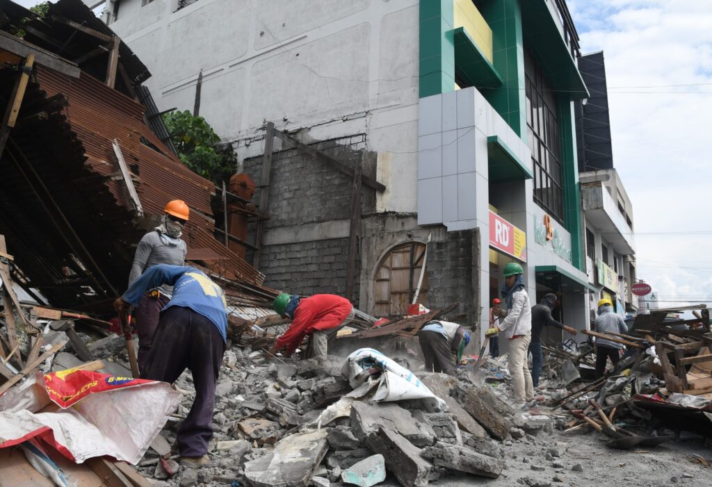
SARANGANI, Philippines, Aug. 5 — The U.S. Geological Survey recorded a magnitude 6.3 earthquake at 04:14:06 UTC on August 5, 2026, centered 32 kilometers southwest of Sarangani, Philippines, at a depth of 10 kilometers. No tsunami warning was issued.
According to the filing, the event struck shallow. Earthquakes at depths of less than 70 kilometers typically produce stronger shaking at the surface than deeper events of the same magnitude, and the USGS lists quakes in the magnitude 6 range as strong, capable of causing significant damage in populated areas close to the epicenter. At 10 kilometers down, this one sat well inside that shallow band.
Shallow and Strong
The record shows the temblor hit at a fixed moment in the regional timeline: 04:14:06 UTC, a time that corresponds to early afternoon in the Philippines. The epicenter, 32 kilometers off Sarangani’s southwest coast, places the shaking in a corridor that has seen sustained seismic activity for decades.
The USGS detected the event through its real-time global seismic monitoring network. A shallow event of this size in a populated zone, the agency’s data notes, carries a real risk of damage to structures near the epicenter. The agency did not, however, issue a tsunami advisory, and none was in effect following the quake.
A Seismically Active Region
The area around the epicenter is no stranger to large earthquakes. On the timeline, the USGS has recorded at least 500 earthquakes of magnitude 5.0 or greater within about 300 kilometers of this location over the past two decades. The strongest of those was a magnitude 7.8 event, recorded in 2026.
That long record puts Wednesday’s quake within a broader pattern of regular, sometimes violent, seismic release in the region. The 6.3 magnitude figure places it well above the 5.0 threshold that marks the area’s frequent activity, but below the 7.8 maximum that regional fault systems have produced in recent memory.
Seismologists note that aftershocks are common following an earthquake of this size. Those aftershocks, the record shows, may continue for days or weeks, and people in the affected area are generally advised to be prepared for further shaking. The USGS’s monitoring network remains active, and the agency’s real-time data will capture any subsequent events as they occur.
What to Watch
The immediate concern is the sequence of aftershocks, which can themselves cause damage to structures already weakened by the main shock. The shallow depth of the 6.3 event increases the likelihood of noticeable surface shaking in communities near Sarangani.
The broader context is the region’s well-documented seismic history. With more than 500 magnitude 5.0 or greater earthquakes recorded within a 300-kilometer radius over two decades, and a magnitude 7.8 event already on the books for 2026, the new earthquake is one more entry in an active geological ledger.
The USGS has not reported any further significant events since the 04:14:06 UTC quake, and no tsunami warning has been issued. Seismologists will continue to monitor the region for aftershocks in the coming days.




