
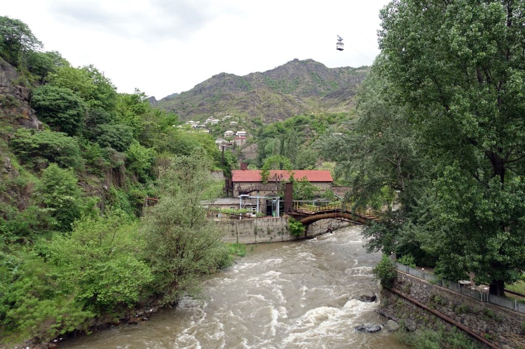
At least three people have died and multiple bridges have been destroyed by floodwaters along the Armenia-Georgia border. The destruction is extensive, yet the event was foreseeable given the region’s geography.
Armenia occupies a highland plateau, where the Armenian highlands trap moisture and force it into narrow river valleys. Heavy rainfall has no escape route other than to rush downhill at high speed. This landscape creates a natural flood corridor. The same mountains that hosted the ancient kingdom of Urartu, which emerged in 860 BC, now direct storm runoff into villages and roads built on floodplains.
Armenia is landlocked, bordered by Turkey to the west, Georgia to the north, Azerbaijan to the east, and Iran and the Azerbaijani exclave of Nakhchivan to the south. This geography makes the border crossing with Georgia a critical lifeline.
Trade and people travel through those mountain passes. When bridges collapse, the entire region experiences the impact. The bridges that failed were functional infrastructure, used by trucks, cars, and pedestrians.
Their loss isolates communities and blocks the fastest route for emergency supplies. The flooding not only killed people but also stranded survivors.
Armenia has experienced this pattern before. The highlands produce sudden, violent runoff. Climate data indicates that heavy rainfall events are increasing in frequency.
The country’s infrastructure was designed for a different climate. Roads, bridges, and drainage systems built decades ago cannot handle the volume of water now delivered in a single storm.
The environmental toll is significant. Floods erode topsoil, contaminate waterways, and destroy habitats. Armenia’s ecosystem is delicate.
The highlands support unique plant and animal communities that recover slowly from a deluge. Mudslides spread debris across farmland.
Rivers shift course. The land itself is altered. Disaster preparedness in Armenia has advanced, but it has not kept pace with the changing climate.
Early warning systems are in place, but they do not reach every valley. Evacuation routes exist, but they depend on the same bridges that collapse.
The gap between planning and reality is measured in lives lost. Three confirmed deaths is the current count, but that number may increase. Rescue workers are still accessing isolated areas, and the full scope of the damage remains unknown. The Armenian government now faces a difficult decision.
Rebuilding the same bridges in the same locations risks repeating the same outcome. Relocating roads and bridges to higher ground is more expensive and time-consuming.
Inaction is not feasible because the border with Georgia is essential for trade, travel, and daily life. Renewable energy projects, particularly solar and wind, have been proposed as a way to reduce Armenia’s dependence on fossil fuels. Such projects would also lessen the economic impact when disasters occur.
A country that generates its own power is less vulnerable to supply chain disruptions. However, these are long-term solutions.
The flood arrived now. The water has receded in some areas, but the mud remains, along with questions about the future. The bridges will be rebuilt or replaced.
The dead will be buried. The living will return to their homes, if those homes are still standing.
And the mountains will remain, awaiting the next heavy rain.




