
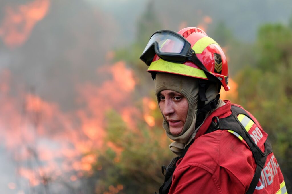
A wildfire on the Portuguese island of Madeira has scorched more than 5,700 hectares of forest, according to the European Forest Fire Information System, and the figure continues to rise. The blaze, which ignited on August 14 in the mountainous Serra de Água region, has spread eastward through Curral das Freiras and Câmara de Lobos, now affecting five municipalities. On August 20, three firefighters from the Azores and mainland Portugal were hospitalized due to injuries sustained while battling the flames.
Two remain under medical care, while the third was treated and released. These personnel were deployed from outside Madeira to assist local crews.
The fire has reached Pico Ruivo, the island’s highest peak, and has consumed laurel forest in Lombo do Urzal, Boaventura, and São Vicente. This forest is a UNESCO World Heritage Site, recognized as a remnant of the subtropical forests that once covered southern Europe. The blaze does not distinguish between heritage and ordinary vegetation, burning both indiscriminately. The central and eastern parts of Madeira have suffered the most damage, with Curral das Freiras and the Central Mountain Massif identified as the most impacted areas.
The fire’s rapid spread is attributed to steep terrain and wind funneling through valleys, conditions that make suppression efforts difficult. Five municipalities—Ribeira Brava, Ponta do Sol, São Vicente, Santana, and Câmara de Lobos—have activated their Municipal Emergency Plans, a formal declaration that the situation has escalated beyond a routine brush fire into a crisis.
Madeira’s geography amplifies its vulnerability to wildfires. Steep slopes, dense vegetation, and narrow roads slow firefighting operations. When a fire starts in the mountains, it has ample room to advance, and this blaze has been moving for over a week.
The 5,700 hectares burned represent a significant portion of the island’s forest area, and the burn scar is expected to be visible from space. The laurel forest may take decades to recover, if it recovers at all, as UNESCO status does not prevent fire damage but underscores the cultural and ecological loss.
The activation of emergency plans in Ribeira Brava, Câmara de Lobos, and Ponta do Sol coordinates local resources under a unified command, a standard procedure. However, the fire has already crossed municipal boundaries and climbed to Pico Ruivo, disregarding administrative lines. The blaze continues to burn as of the current date, with its trajectory dependent on weather and wind conditions.
Madeira is located approximately 700 kilometers west of Morocco, making it isolated and slow to receive reinforcements. The fire has already impacted five municipalities, destroyed a UNESCO World Heritage forest, and injured firefighters.
The key question remains when the fire will stop.




