
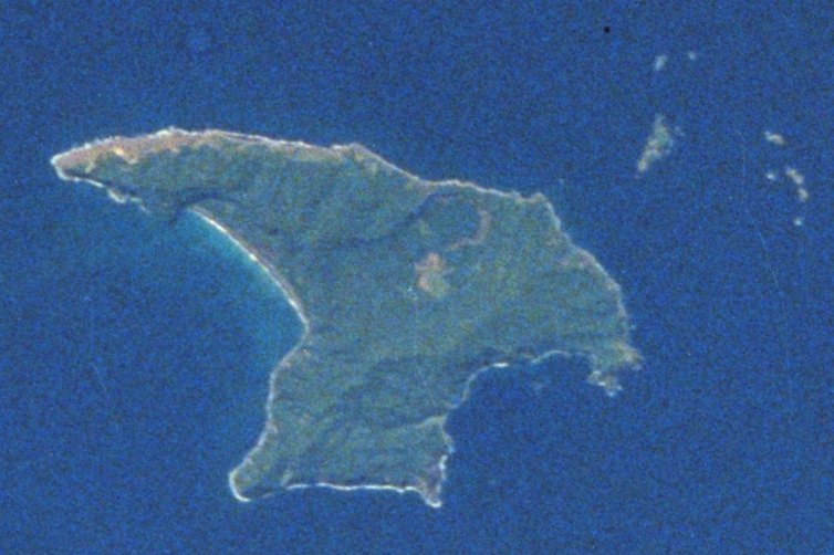
SOUTH OF THE KERMADEC ISLANDS, June 26 — A magnitude 5.1 earthquake struck south of the Kermadec Islands on June 26, 2026 at 06:18 UTC, according to the U.S. Geological Survey. The U.S. Geological Survey detected the event through its real-time global seismic monitoring network. The earthquake occurred at a depth of 10 kilometers.
No tsunami warning was issued. At 10 kilometers deep, this was a shallow earthquake.
The record shows that shallow events less than 70 kilometers deep typically produce stronger shaking at the surface than deeper ones of the same magnitude. Earthquakes in the magnitude 5 range are classified as moderate. According to seismologists, such events can cause minor to moderate damage near the epicenter.
The area south of the Kermadec Islands is seismically active. On the timeline, at least 500 earthquakes of magnitude 5.0 or greater have been recorded within about 300 kilometers over the past two decades.
The strongest of those was a magnitude 7.4 earthquake in 2020. Seismologists note that aftershocks are common following an earthquake of this size. Aftershocks may continue for days or weeks.
People in the affected area are generally advised to be prepared for further shaking. The Kermadec Islands region sits along a tectonic plate boundary where the Pacific Plate subducts beneath the Indo-Australian Plate. This subduction zone generates frequent seismic activity, including moderate to large earthquakes.
The shallow depth of this event places it within the upper crust, where rupture can produce more pronounced ground motion compared to deeper events. The U.S. Geological Survey operates a global seismic monitoring network that detects earthquakes in real time.
The network provides data on location, magnitude, depth, and other parameters that help seismologists assess earthquake characteristics and potential impacts. For residents and vessels in the region, the primary concern following a magnitude 5.1 shallow earthquake is the possibility of aftershocks. While no tsunami warning was issued, the moderate size of the quake means that structures near the epicenter could experience shaking strong enough to cause minor damage, such as cracked walls or dislodged objects.
The historical record for this area shows a pattern of repeated seismic events. The concentration of at least 500 magnitude 5.0 or greater earthquakes within a 300-kilometer radius over two decades underscores the persistent tectonic activity.
The largest recorded event in that period, the magnitude 7.4 quake in 2020, demonstrates the region’s capacity for much stronger shaking. Seismologists continue to monitor the area for further activity. The U.S. Geological Survey’s detection systems remain operational, tracking any subsequent earthquakes that may occur in the hours and days ahead.




