
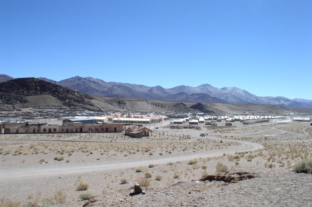
SAN ANTONIO DE LOS COBRES, Argentina, July 24 — A magnitude 5.3 earthquake struck 39 kilometres northwest of this small Argentine town at 19:38 UTC, according to the U.S. Geological Survey, which detected the event through its real-time global seismic monitoring network. The quake occurred at a depth of 193.727 kilometres, placing it firmly in the intermediate-to-deep category. No tsunami warning was issued.
The detail that matters: depth
Under the hood, depth is often the parameter that tells you more about an earthquake’s likely impact than its magnitude alone. At 193.727 kilometres, this was no shallow crustal rupture. Seismologists describe intermediate-to-deep earthquakes as events that can be felt across a wide geographic area — the energy propagates efficiently through the mantle — but which frequently cause less surface damage than a shallow event of comparable size.
The technical reality is straightforward: deep earthquakes release their energy at depth, dissipating much of it before it reaches the surface. Still, a magnitude 5.3 is classified as moderate, and minor to moderate damage is possible near the epicentre.
The USGS records show this part of Argentina is no stranger to seismic activity. At least 234 earthquakes of magnitude 5.0 or greater have been recorded within approximately 300 kilometres of this area over the past two decades. The strongest among them was a magnitude 7.4 event in 2024.
Those figures put the latest jolt in context: a routine event in a seismically active zone, but one that demands attention from anyone in the vicinity.
Aftershocks and the pattern that follows
As ever with an earthquake of this size, seismologists expect aftershocks. They are common following a magnitude 5.3 event and may continue for days or weeks. People in the affected area are generally advised to be prepared for further shaking.
The USGS monitors for these secondary events through the same real-time network that flagged the main shock, and the data from the 2024 magnitude 7.4 sequence will inform the expected decay in aftershock frequency and magnitude. San Antonio de los Cobres sits in the high Andes of Salta province, a region where the Nazca Plate subducts beneath the South American Plate — the tectonic machinery that produces deep earthquakes like this one.
The 193.727 kilometre depth reflects the slab’s descent into the mantle. That is the geophysical engine under the hood. The USGS has no further details yet on local reports of shaking or damage.
That data will come in the hours and days ahead as the monitoring network aggregates felt reports from the region. What is known now is the raw measurement: magnitude 5.3, depth 193.727 kilometres, location 39 kilometres northwest of San Antonio de los Cobres.
The technical reality, as recorded at 19:38 UTC on July 24, 2026.




