
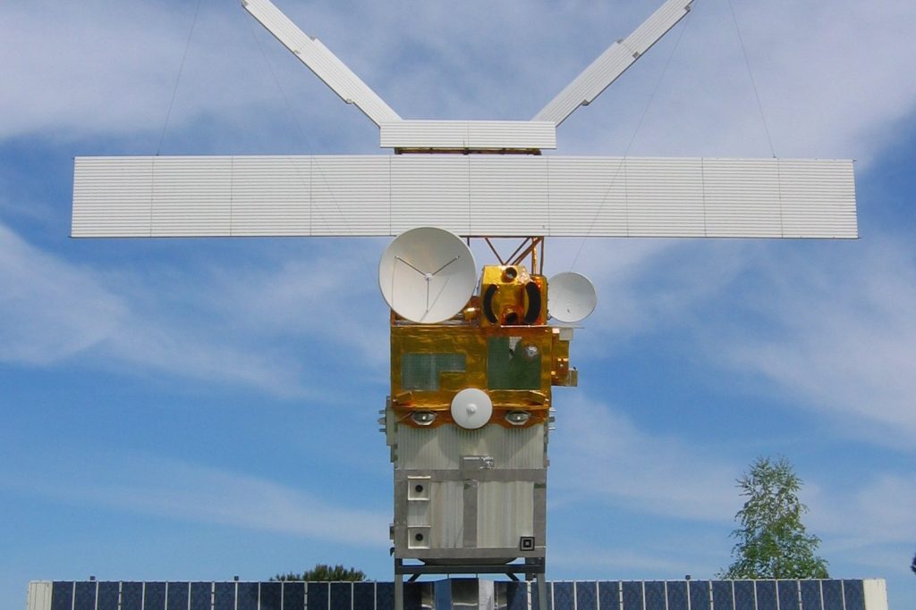
DUBLIN — A new market forecast suggests Medium Earth Orbit remote sensing is about to become a much bigger business. But the numbers alone tell only part of the story. The real weight falls on what this growth means for the people and systems that depend on knowing what is happening on the ground, in real time, from 20,000 kilometers up.
Research and Markets put the global MEO remote sensing, imagery, and data services market at US$46.7 million in 2025. By 2032, they expect it to hit US$124.3 million.
That is a compound annual growth rate of 15 percent. Steady. Significant.
But not the headline. The headline is what the money buys.
Medium Earth Orbit satellites sit higher than low-Earth-orbit birds but lower than geostationary ones. That middle altitude gives them a specific advantage: continuous, mid-latency data transmission. Not as fast as LEO.
Not as stationary as GEO. But for global navigation satellite systems like GPS, Galileo, and BeiDou, that slot is critical. Those systems already rely on MEO orbits for accurate geolocation.
The market growth means more satellites, more bandwidth, more redundancy. That affects every phone, every car, every airplane navigation system on the planet.
Government and defense sectors are the primary drivers. The report cites rising investments in those areas. That is not a surprise.
High-resolution, near-real-time Earth observation data is a strategic asset. Militaries want to see what is moving.
Intelligence agencies want to see what is changing. MEO satellites offer persistent coverage over wide areas without the latency penalty of geostationary orbits or the coverage gaps of LEO constellations. The market tripling suggests those buyers are committing serious money.
But the consequences ripple wider. Agriculture stands to change. The report specifically mentions enhanced crop monitoring.
Farmers already use satellite data to check field health, irrigation needs, and yield estimates. MEO systems can provide more frequent passes, more consistent data.
That means better decisions on fertilizer, water, and harvest timing. For a global food system under pressure from climate shocks, that matters. Pipeline surveillance is another cited use.
Oil and gas companies run thousands of kilometers of pipeline across remote terrain. Leaks cost money and lives.
MEO imagery can spot ground disturbance, vegetation stress, or temperature anomalies. Faster detection means faster response. The same logic applies to smart city planning.
Urban growth is relentless. MEO data helps planners track sprawl, monitor infrastructure stress, and manage resources. Climate resilience strategies are feeding demand directly.
The report notes MEO remote sensing systems are increasingly used to track rising sea levels, glacier melt rates, and extreme weather patterns. Those are not abstract metrics.
Coastal cities use sea-level data to plan flood defenses. Water managers use glacier melt data to predict river flows. Emergency services use storm tracking data to position resources.
Every improvement in MEO sensing capability translates into better warnings and better planning. Then there is telecommunications.
The report ties MEO satellite growth directly to 5G and next-generation infrastructure. That is a less obvious connection. MEO satellites cannot replace cell towers.
But they can backhaul data from remote base stations, provide connectivity where fiber is impractical, and offer redundancy for core networks. As 5G rolls out into rural and maritime zones, MEO capacity becomes a practical necessity. One number stands out.
The market is projected to nearly triple in seven years. That kind of growth does not happen without a structural shift in how Earth observation data is valued and paid for.
Governments are buying. Industry is buying. The technology is moving from niche to mainstream.
What comes next is not guaranteed. The report does not name specific satellite operators, launch providers, or data analytics firms.
But the direction is clear. More MEO satellites will go up. More data will come down.
More decisions will depend on that data. The market numbers are just the price tag on a much larger transformation.
{“@context”: “https://schema.org”, “@type”: “NewsArticle”, “headline”: “MEO Remote Sensing Market Projected to Reach $124 Million by 2032”, “description”: “DUBLIN — A new market forecast suggests Medium Earth Orbit remote sensing is about to become a much bigger business. But the numbers alone tell…”, “datePublished”: “2026-06-22T07:49:00+00:00T09:30:00+00:00”, “author”: {“@type”: “Person”, “name”: “Beatrice Ferrari”}, “publisher”: {“@type”: “Organization”, “name”: “InfoPulse Today”, “url”: “https://newsfeed.infopulsetoday.com/”}}




