
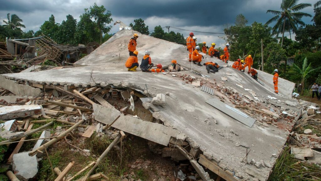
Shallow earthquakes near Java are nothing new. But each one carries its own message about the ground beneath millions of people. The magnitude 5.2 quake that hit 114 kilometers south-southwest of Trenggalek early Saturday was not a surprise to anyone who watches the seismic charts.
The U.S. Geological Survey clocked it at 07:47 UTC. Depth: 65.584 kilometers.
That puts it in the shallow category — less than 70 kilometers down. Shallow means the rupture happened close to the surface. The shaking is stronger.
The damage potential is higher for a given magnitude. This one was moderate.
Magnitude 5.2 events do not level cities. But they rattle buildings. They crack walls.
They remind people what sits beneath their feet. The region south of Java is a collision zone. The Indo-Australian plate drives northward, sliding under the Sunda Plate.
That subduction zone generates earthquakes constantly. The USGS data shows at least 123 magnitude 5.0 or greater quakes within about 300 kilometers of this spot over the last twenty years.
The biggest in that period was a 6.3 in 2006. That one likely did real damage. Saturday’s quake was smaller.
But the depth matters. At 65 kilometers, the rupture is still inside the crust, not deep in the mantle where the energy dissipates before reaching the surface.
The USGS classifies anything shallower than 70 kilometers as shallow. That is the danger zone for strong shaking. Only four people reported feeling it, according to USGS data.
That number is low. It might mean the epicenter was far offshore. It might mean the quake hit at a time when few people were paying attention.
Or it might mean the shaking was not intense enough to register widely. Without local reports, the picture stays incomplete.
No tsunami warning followed. That is standard for a 5.2. Tsunamis require bigger quakes, usually above magnitude 7, and vertical displacement of the seafloor.
This one did not meet that threshold. Aftershocks are likely.
Seismologists expect them after any quake of this size. They can continue for days or weeks. Most will be smaller.
But sometimes a moderate quake is a foreshock. Sometimes the bigger one comes later. That is why standard guidance tells people in affected areas to stay prepared for further shaking.
The USGS runs a global real-time monitoring network. It detected this event automatically.
That network is the reason we know the exact location, depth, and magnitude within minutes. Without it, a quake in a remote part of the ocean might go unnoticed until someone on land felt it. Indonesia sits inside the Pacific Ring of Fire.
Earthquakes are a fact of life there. The country has built some seismic resistance into its buildings, but enforcement is uneven.
Rural areas near Trenggalek may have structures that cannot handle even moderate shaking. The depth and distance from shore probably limited the impact this time. But the underlying forces do not change.
The plates keep moving. The stress keeps building. Another quake will come.
It might be bigger. It might be closer.
The only question is when.




