A magnitude 5.5 earthquake struck Japan’s Volcano Islands on Thursday at 03:49 ET, according to the U.S. Geological Survey. The epicenter was near 22.86°N, 144.39°E, and the quake was shallow, at a depth of 12.8 kilometers. No tsunami warning was issued.
The USGS automated impact system, PAGER, gave the event its lowest alert level, green. That means estimated deaths are zero and estimated economic losses are under $1 million. The reason is mostly geography. The chain is made up of three islands, Kita-Iō-jima, Iō-jima and Minami-Iō-jima, that are largely uninhabited or closed to the public, with a combined population of about 380. CGTN reported a second quake, magnitude 5.6, in the same general region later the same day.
Why shallow matters
Anything shallower than roughly 70 kilometers counts as shallow. At that depth, seismic waves reach the surface with little loss of strength compared with a deeper quake of the same size. The epicenter lay hundreds of kilometers from any population center, though, and no damage was reported.
Where the islands sit
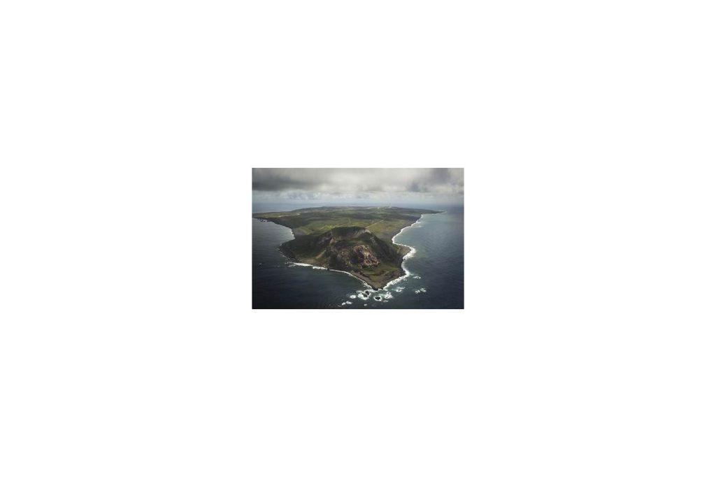
The Volcano Islands are administered as part of Ogasawara, Tokyo Metropolis, in the western Pacific between the Bonin Islands to the north and the Marianas to the south. Together they cover about 32.55 square kilometers. The largest, Iō-jima, is better known by its wartime name, Iwo Jima. It lies about 1,220 kilometers south-southeast of Tokyo and is run by Japan’s Self-Defense Forces. Its civilian population was evacuated in 1944 and never returned.
Iwo Jima is also rising. A resurgent caldera dome, it has one of the highest uplift rates recorded anywhere, roughly 20 to 25 centimeters a year, driven by magma and hydrothermal pressure under the caldera floor. A shoreline where Captain Cook’s surveying crew landed in 1779 now sits 40 meters above sea level.
The quake belongs to the Izu-Bonin-Mariana arc, which runs more than 2,800 kilometers south from Tokyo. The Pacific Plate dives beneath the Philippine Sea Plate there. Earlier this year the same region produced a magnitude 6.1 quake on January 21 at 25 kilometers depth and a magnitude 6.0 on March 2. Both also drew green alerts.
An arc without a great megathrust
The arc has no instrumental record of a shallow great earthquake of magnitude 8 or higher. The leading explanation is weak coupling between the plates. The Pacific Plate being consumed there is old, dense and cold, so it sinks steeply instead of locking, and energy leaks off in smaller events. The largest recorded on the Izu-Bonin segment was the magnitude 7.4 Bonin Islands earthquake of December 21, 2010. It produced a tsunami of 7 to 13 centimeters along the south coast of Honshu.
Japan’s Meteorological Agency issues its first tsunami warning or advisory about three minutes after a qualifying quake. Thursday’s event did not meet the criteria, and none was issued.