Two shipping lanes, each about two miles wide, carry roughly a fifth of the world’s petroleum. That is the Strait of Hormuz, and since early March 2026 almost nothing has been moving through it.
Here’s what that means in plain terms. Think of it like a single highway on-ramp that feeds fuel to a large share of the planet’s cars, planes and factories. Close the ramp and every road behind it backs up.
Where the strait sits
The strait lies at the mouth of the Persian Gulf and links it to the Gulf of Oman and the Arabian Sea. Iran forms its northern shore. To the south is Oman’s Musandam Peninsula, which is cut off from the rest of Oman by other territory. The waterway runs about 104 miles and ranges from roughly 35 to 60 miles across.
The open water is misleading. Ships follow two lanes, one inbound and one outbound, with a two-mile buffer between them. Qeshm, Hormuz and Larak, the main islands in the strait, all fall under Iranian control. Bandar Abbas, on the Iranian coast, is one of the region’s busiest ports.
Because the strait lies within the territorial waters of both Iran and Oman, a vessel has to pass through one country’s water or the other’s. Under the UN Convention on the Law of the Sea, warships and merchant vessels alike have a right of transit passage. Iran has not ratified that treaty, and it has at times claimed the right to regulate or restrict traffic.
What normally flows through
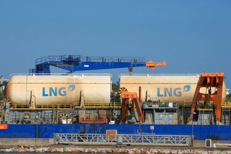
Between 20 and 21 million barrels of crude and refined products pass through each day, about 20 percent of global petroleum consumption. Qatar, the largest liquefied natural gas exporter in the world, sends nearly all of its output the same way. China, Japan, South Korea and India depend on the route most heavily.
The history is old. Merchants hauled spices, textiles and metals through these waters long before oil. The Portuguese commander Afonso de Albuquerque seized the island of Hormuz, once a rich trading kingdom, in 1507.
The 2026 closure
When armed conflict broke out between the United States, Israel and Iran, Iran shut the strait to foreign shipping. The Revolutionary Guard issued warnings against passage, attacked merchant ships and laid sea mines. Tanker traffic fell by 90 percent. Oil climbed past $120 a barrel, the sharpest monthly jump on record, and QatarEnergy stopped all LNG exports.
Gulf producers cut output as storage tanks filled. War-risk insurance made the trip too expensive for most shipping companies, so vessels took longer routes or stayed in port. Pressure spread to supply chains for plastics, fertilizer, pharmaceuticals and electronics.
A UN Security Council resolution calling for reopening was vetoed in early April. On April 17 Tehran declared the passage open, then the Guard reversed that within 24 hours. As of June 8, 2026, the strait had been effectively shut for 94 days, and Gulf states were losing an estimated $1.1 billion a day in oil revenue. A fragile ceasefire holds, but commercial shipping has barely resumed.
No easy way around
Saudi Arabia and the UAE have bypass pipelines, though together they cover only a fraction of normal volume. Iraq, Kuwait, Qatar and Iran have no alternative at all. For them, the strait is the only exit. Governments in Europe and Asia have started diversifying their supplies and speeding up energy transition spending since the closure.