
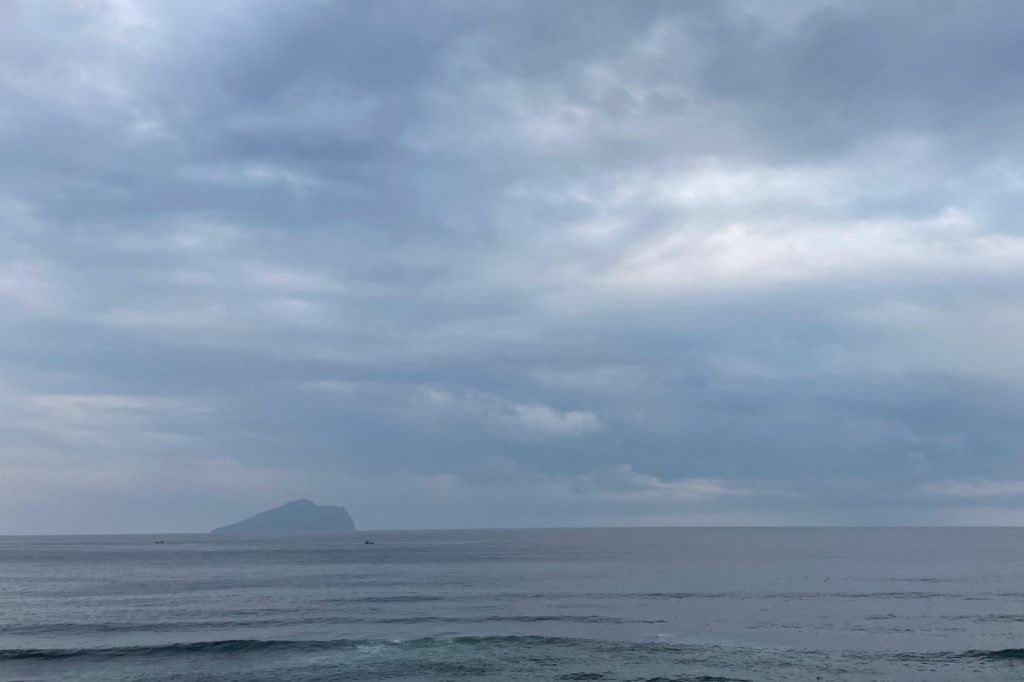
Taiwan exists in a state of constant geological tension. Its eastern coastline marks the boundary where the Philippine Sea plate pushes against the Eurasian plate, a collision zone that builds pressure year after year. On April 3, 2024, that accumulated strain unleashed a magnitude 7.4 earthquake. The force of the shaking sheared off a large section of Guishan Island, sending rock and debris into the surrounding waters.
The official toll stands at nine dead and more than 930 injured. This event is not unusual in Taiwan’s long history of seismic activity.
The island has documented earthquakes since 1624, the year the Dutch established Fort Zeelandia. From 1901 to 2000, Taiwan recorded 91 major earthquakes. Of those, 48 caused significant destruction.
The April 3 quake aligns with patterns geologists have identified through decades of study. Forty-two active faults run across the island.
Most earthquakes occur offshore along the east coast. These offshore events, including the April 3 quake, typically cause limited damage. The greater danger historically comes from smaller earthquakes that rupture directly beneath the island.
Those are the ones that level buildings and cause mass casualties. The collapse of Guishan Island’s face stands as dramatic physical evidence of the quake’s power.
The island is uninhabited, so no one died there. But the rockfall that killed four people on the mainland demonstrates how seismic energy travels across the landscape. The ground does not distinguish between empty terrain and populated communities.
Japan’s Okinawa Prefecture issued tsunami warnings following the quake. The waves that arrived did not cause catastrophic damage, but the alert system functioned as intended.
Taiwan’s own early warning systems and evacuation drills are products of centuries of experience with earthquakes. The island has no alternative but to prepare. The geology leaves no room for complacency.
The Pacific Ring of Fire stretches 40,000 kilometers in a horseshoe shape of tectonic activity. Taiwan sits at its western edge.
The Philippine Sea plate moves toward the Eurasian plate at several centimeters per year. That motion builds strain over decades. When the strain exceeds the strength of the rock, the earth ruptures. April 3 was one such rupture.
Each major earthquake adds to the scientific understanding of the region. Seismologists track the faults, measure the slip, and model stress transfer.
The 42 active faults are studied, mapped, and monitored. This data informs building codes and evacuation routes. But the earth does not follow a schedule.
The next rupture could come tomorrow, or in a generation. The nine dead and 930 injured are numbers.
The collapsed cliff on Guishan Island is a visible scar. These are the immediate facts. Behind them lies a longer story of a plate boundary, a history of recorded shaking stretching back four centuries, and a population that lives with the knowledge that the ground beneath them is never truly still.




