NAGQU, October 24, 2026 — A magnitude-7.0 earthquake struck Drachen county in the Xizang autonomous region at 10:33 pm on Thursday, killing 16 people and injuring 76 others while collapsing 339 houses, according to the regional government. The disaster has triggered a Level II emergency response and highlighted the severe logistical constraints of mounting rescue operations on the high Tibetan Plateau.
Night Strike in a Sparsely Populated Zone
The tremor hit a remote area of northern Tibet, with the epicenter located 191 kilometers east-northeast of Nagqu, according to the U.S. Geological Survey. The USGS placed the depth at 18 kilometers, while the China Earthquake Networks Center recorded a shallower depth of 10 kilometers. State broadcaster CCTV reported it was the largest earthquake in the region in the last five years. The quake struck late at night, catching residents in their homes in Maru township and surrounding villages, where search teams later completed three rounds of searches with no people reported missing, officials said.
Geography as a Barrier
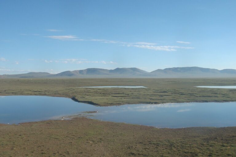
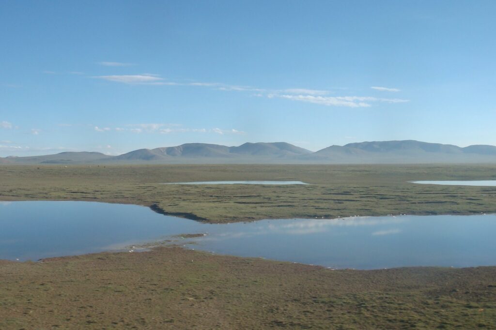
The Tibet Autonomous Region spans more than 1,200,000 square kilometers of harsh and rugged terrain with a population of just 3.6 million, yielding a density of roughly three inhabitants per square kilometer, according to regional data. This vast, thinly settled expanse creates a fundamentally different rescue calculus compared to seismic events in densely populated coastal zones. In coastal regions, infrastructure networks — ports, highways, dense urban grids — allow heavy machinery and large medical teams to reach disaster sites within hours. On the plateau, the combination of extreme altitude, thin air, and limited road access restricts the speed and volume of relief flows.
Infrastructure Vulnerability in High-Altitude Settlements
The collapse of 339 houses underscores the structural vulnerability of traditional and rural building stock in these remote areas. Unlike coastal megacities where building codes often mandate seismic reinforcement for high-rise construction, many villages in northern Tibet rely on materials and designs not engineered for magnitude-7.0 shaking. The sparse population means economic activity cannot support the same level of engineered resilience found in wealthier, denser coastal corridors. When structures fail here, the supply chain for replacement materials — cement, steel, timber — stretches over hundreds of kilometers of mountain roads, delaying the transition from emergency shelter to permanent reconstruction.
Mobilization and the Level II Response
The regional government upgraded its emergency disaster relief response to Level II effective Friday, a move designed to strengthen rescue operations and assistance to affected residents, according to official statements. Police and fire department rescue teams deployed to build tents for displaced residents, while volunteers supplemented official channels. Sonam Ngodrub, a restaurant operator from Nagqu, traveled to an affected village to provide 100 to 150 kilograms of Tibetan noodles daily, along with roasted barley flour and sweet tea. This blend of state-directed mobilization and local civil society initiative reflects the necessity of self-reliance in regions where outside aid faces long transit times.
Contrast with Coastal Seismic Events
Comparing this event to coastal earthquakes reveals a divergence in operational priorities. Coastal disasters typically trigger immediate concerns about tsunami risk, port closures, and disruption to global shipping lanes, drawing international naval assets and heavy-lift air capacity within days. Inland high-altitude events generate no tsunami threat but impose a “last mile” problem of a different order: moving supplies across mountain passes that may be blocked by landslides, in temperatures that can plummet well below freezing at night. The injured count of 76, with 11 in serious condition according to earlier reports, strains a medical system where the nearest major hospitals are in Nagqu, more than 185 kilometers south of the epicenter, or in Lhasa, the regional capital. The logistical tail — fuel, oxygen, cold-weather gear, specialized high-altitude medical kits — becomes the decisive factor in survival rates, not just the magnitude of the shaking.
Ongoing Relief Operations and Humanitarian Support
Rescue and relief operations extended through Saturday in Drachen county, as emergency workers and volunteers continued to address the aftermath of the Thursday night disaster. In the hardest-hit villages within Maru township, personnel focused on searching damaged buildings and establishing temporary shelters to accommodate those who lost their homes. These efforts are part of a broader mobilization that has seen both official departments and local civil society members working in tandem to stabilize the affected population.
The humanitarian response has been bolstered by local residents who have sought to provide immediate assistance to their neighbors. Sonam Ngodrub, who operates a Tibetan restaurant in Nagqu, traveled to one of the impacted villages to contribute to the relief effort. According to Ngodrub, he has been providing 100 to 150 kilograms of Tibetan noodles daily, free of charge, along with supplies of sweet tea and roasted barley flour. This grassroots contribution supplements the work of police and fire department rescue teams, who have been tasked with building tents for the displaced. While search operations were officially completed by Friday with no people reported missing, the focus remains on providing essential supplies and ongoing support to the residents of the remote, high-altitude region as they navigate the recovery process.
Geographical and Environmental Challenges of High-Altitude Disaster Zones
The earthquake struck a sparsely populated, high-altitude area of northern Tibet, with the epicenter located 191 kilometers east-northeast of Nagqu, according to the U.S. Geological Survey. The USGS placed the depth at 18 kilometers, while the China Earthquake Networks Center recorded a shallower depth of 10 kilometers. Nagqu sits at an elevation exceeding 4,500 meters, and the surrounding region features harsh, rugged terrain where temperatures can plummet well below freezing at night, creating acute risks of hypothermia for displaced residents and complicating the operation of heavy machinery.
The Tibet Autonomous Region spans more than 1,200,000 square kilometers with a population of just 3.6 million, yielding a density of roughly three inhabitants per square kilometer, according to regional data. This vast, thinly settled expanse means the “last mile” of aid delivery involves traversing mountain passes that may be blocked by landslides over hundreds of kilometers of mountain roads. The nearest major hospitals are in Nagqu, more than 185 kilometers south of the epicenter, or in Lhasa, the regional capital, straining a medical system where the logistical tail — fuel, oxygen, cold-weather gear, and specialized high-altitude medical kits — becomes the decisive factor in survival rates.
Unlike coastal seismic events that trigger tsunami risks and draw international naval assets, inland high-altitude disasters generate no tsunami threat but impose environmental barriers that restrict the speed and volume of relief flows. The combination of extreme altitude, thin air, and limited road access hinders the deployment of large medical teams and heavy equipment. State broadcaster CCTV reported this was the largest earthquake in the region in the last five years, underscoring that the structural vulnerability of rural building stock in these remote areas is compounded by an environment where the supply chain for replacement materials stretches over treacherous distances, delaying the transition from emergency shelter to permanent reconstruction.
Sources
- Rescue and relief efforts underway after quake kills 16, injures 76 in Xizang
- Tibet Autonomous Region
- A 7.0 earthquake hits China’s Tibet, killing 16 and injuring 32
Photo: 罗布泊 (CC BY 3.0)