A magnitude 7.0 earthquake hit the Tibetan Plateau at 10:33 p.m. local time on Thursday, the U.S. Geological Survey said. The epicenter lay about 119 miles east-northeast of Nagqu, China, at a depth of 11.2 miles. The agency estimates that roughly 132,000 people live in the area that felt moderate to severe shaking.
The region is thinly settled, and the USGS said that kept exposure to landslides and liquefaction down. Liquefaction is what happens when water-soaked soil loses its strength and acts like a liquid under heavy shaking. How much damage a big quake does here, the agency added, depends on how close the rupture sits to towns.
Two plates, still pushing
The cause is old and still running. According to the USGS, the Indian Plate began colliding with the Eurasian Plate about 50 million years ago. That collision raised the Himalayas and lifted the plateau. It has not stopped. India keeps pushing under Eurasia, and the crust across the region keeps shifting in complicated ways.
Thursday’s quake came from normal faulting inside the plateau itself, not at the plate boundary. The agency’s explanation is that the plateau spreads east and west under its own weight. The crust stretches, then breaks along normal faults, and those breaks produce earthquakes like this one.
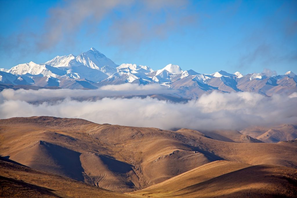
Size matters for understanding it. The plateau runs about 1,000 kilometers north to south and 2,500 kilometers east to west, covering some 2,500,000 square kilometers at an average height above 4,500 meters. Mount Everest and K2 sit among the ranges around it. People call it the Roof of the World.
What the record shows
Since 1900, 29 earthquakes of magnitude 7.0 or larger have struck the plateau and the country around it. The biggest was the magnitude 8.6 Assam-Tibet earthquake on August 15, 1950, which killed more than 4,000 people.
A magnitude 6.9 quake on April 13, 2010, struck about 169 miles east-northeast of Thursday’s epicenter. It killed more than 2,500.
The economic stake
Few people live near the fault zones, but a lot of Asia depends on what the plateau holds. It is the source of most streams in the surrounding regions, including the three longest rivers in Asia: the Yellow, the Yangtze and the Mekong. Its tens of thousands of glaciers store water and regulate how those rivers flow. Some call it the Third Pole, because its ice fields hold the largest store of fresh water outside the polar regions.
Most of the permanent population lives in the Yarlung Tsangpo river valley. The far north, the Changtang, averages more than 5,000 meters in altitude, sees winter temperatures that often fall below minus 35 degrees Celsius, and has only nomadic herders in its southern part.
Sources
- Tibetan Plateau
- Chinese satellite internet connects Arctic, Antarctica, Qinghai-Tibet Plateau for 1st time
- Major magnitude 7.0 earthquake strikes remote region of China, shaking reported
Photo: Dan (CC BY 3.0)