
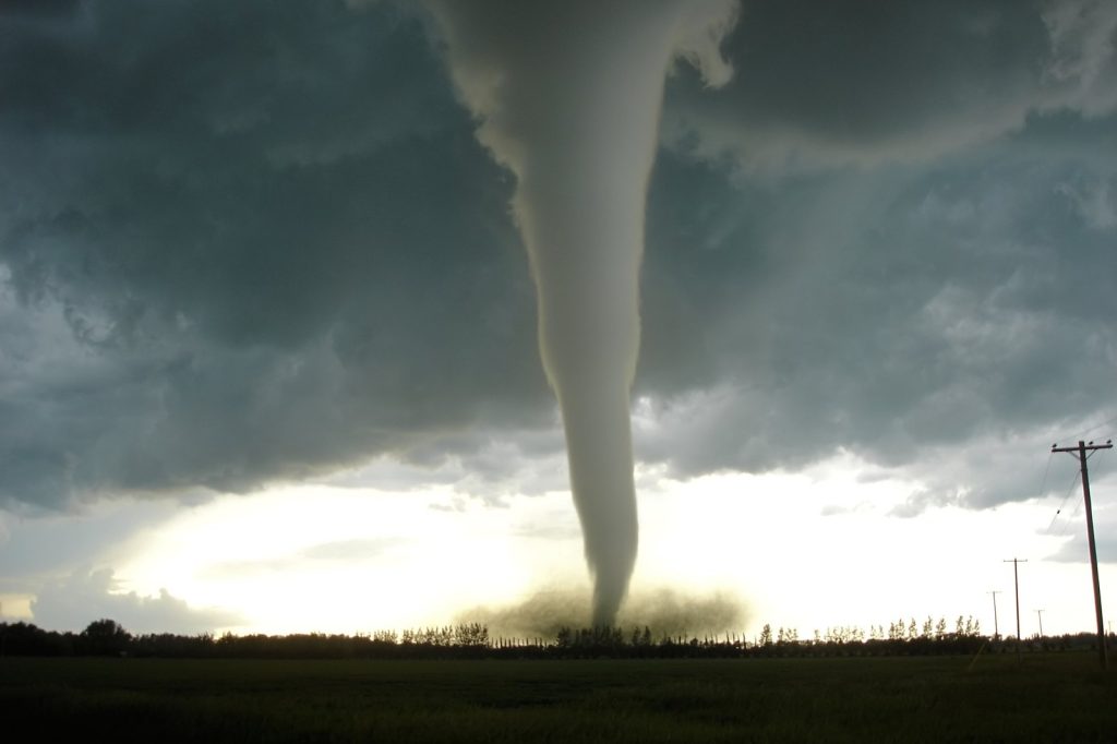
For five days before the first tornado touched down, forecasters at the Storm Prediction Center (SPC) monitored the Mississippi Valley and surrounding areas. Beginning on March 28, the SPC tracked a slow‑moving weather system and a stationary front that later produced a dual threat of violent tornadoes and life‑threatening flash floods.
On April 2, the agency elevated its outlook to a rare “high‑risk” warning, a designation reserved for situations where conditions favor long‑track, violent tornadoes and severe thunderstorms. The high‑risk alert arrived only weeks after a historic tornado outbreak struck the same general region, underscoring the area’s ongoing vulnerability. The combination of a sluggish system and a stationary front meant that the same locations faced repeated bouts of intense weather, leading to saturated soils, rising rivers, and repeated tornado development from the same unstable air mass.
By the time the first tornado touched down in Owasso, Oklahoma, on April 2, damage to homes and disruption to daily life were already evident. Further east, an EF1 tornado in Nevada, Missouri, ripped roofs from houses and left at least one person injured.
Elsewhere in the region, an EF2 tornado—producing winds between 111 mph and 135 mph—caused extensive destruction, capable of flipping vehicles, demolishing mobile homes, snapping large trees, and flattening roofs and walls. The human toll has risen to 18 confirmed deaths, a figure that officials expect could increase as recovery efforts continue. Emergency responders and relief teams are on the ground providing aid, clearing blocked roads, restoring power, and searching for missing persons.
Assessments of the full damage are still underway, with officials noting that the extent of destruction will likely be measured in days or weeks. The SPC’s warning system, praised for its accuracy in saving lives and limiting damage, can only be effective if the public receives and acts on the alerts.
While the center successfully forecast the dangerous set‑up, it cannot halt the storms themselves. The outbreak, which began on April 2, is not yet over. The lingering slow‑moving system and stationary front keep the threat of additional severe weather alive, prompting communities in the storm’s path to remain on high alert.
This pattern mirrors the earlier historic outbreak, which also followed SPC warnings, highlighting a recurring atmospheric setup involving a stationary front, a sluggish system, and an atmosphere primed for violent storms. In Owasso, residents are sifting through debris, while families in Nevada, Missouri, confront damaged roofs and the loss of personal belongings.
Across the Southern and Midwestern United States, millions are affected by the ongoing crisis, which combines tornado devastation with historic flash‑flooding. The region’s experience of two major severe‑weather events within weeks, both preceded by rare high‑risk alerts, underscores the importance of preparedness and rapid response. As authorities continue to evaluate damage and coordinate recovery, the possibility of further severe weather remains, keeping communities on edge as they await the storm’s final outcome.




