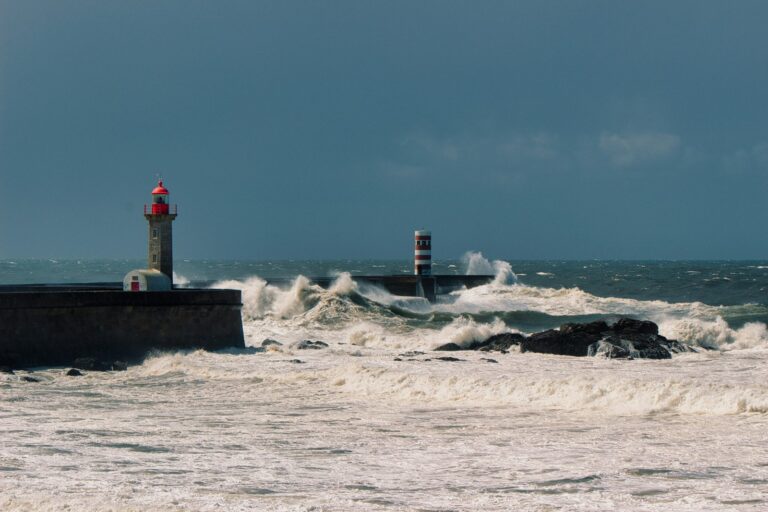
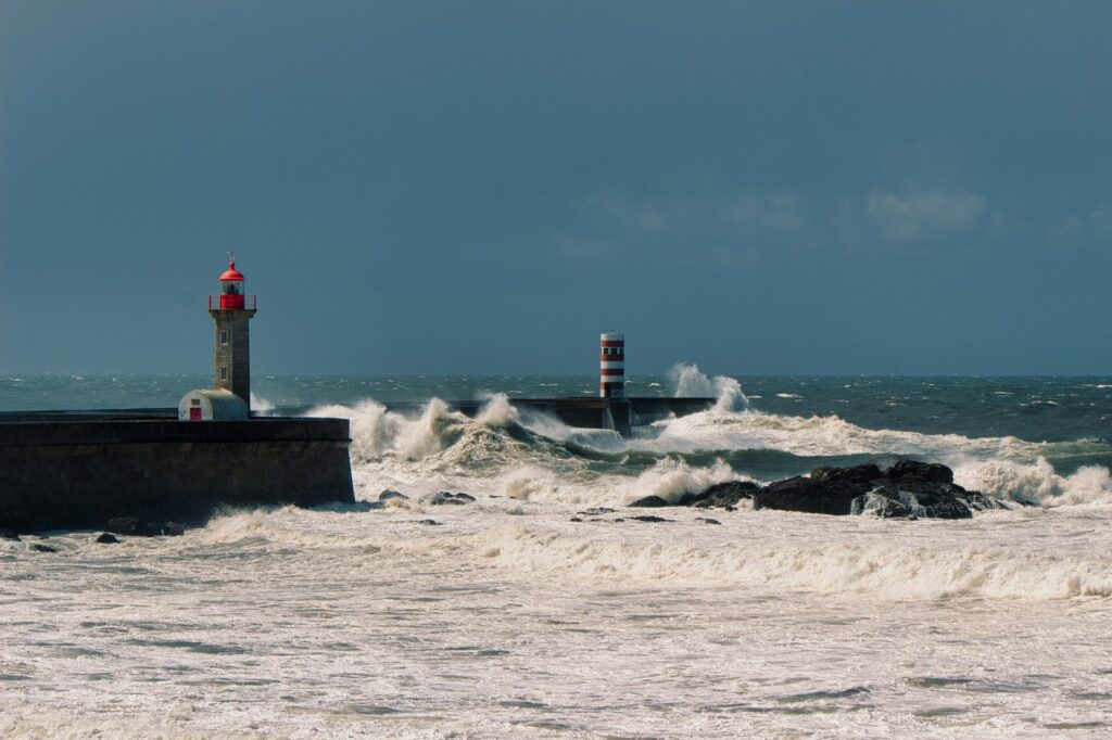
A nor’easter tracing its origins to thunderstorms off Miami is moving up the Eastern Seaboard, set to bring heavy rain and coastal flooding from Florida to New England through Tuesday. The system follows a classic Miller A track, driven by the phasing of northern and southern jet streams that forecasters say will trigger explosive cyclogenesis.
The Technical Reality of Phasing
The storm’s engine is the merger of two distinct atmospheric features. An upper-level shortwave tracking southeast from Canada into the Mid-Atlantic is providing the dynamic lift, while a surface low forming off the Southeast coast — born from the Florida convection — supplies the moisture feed. When these streams phase, the resulting pressure drop can meet the technical definition of bomb cyclogenesis: a fall of 24 millibars in 24 hours. The National Hurricane Center gave the developing low a 50% chance of acquiring subtropical characteristics before landfall in the Carolinas, a detail that matters because hybrid structures often hold more water.
Tropical Moisture Transport
The southern stream connection is not academic. The low creeping north through the Carolinas on Saturday and Sunday is tapping deep tropical moisture, a pipeline that stretches back to the Gulf and the western Atlantic. Almost the entire East Coast is forecast to receive at least one inch of rain through Tuesday, with flash flooding potential highlighted for large areas of South Carolina, North Carolina, the New York City metro region and eastern New England. The St. Johns River in Florida has already reached its highest water level in recorded history after an unusually wet autumn, leaving zero margin for additional runoff.
Full Moon Amplifies Coastal Threat
The coastal flood threat peaks Tuesday, not by coincidence. The storm’s arrival coincides with a full moon, which drives higher-than-normal astronomical tides even without a storm. Onshore winds will stack water on top of that elevated baseline, a compounding effect that turns moderate surge into significant inundation for low-lying communities. New York City Mayor Zohran Mamdani warned Sunday would bring the worst impacts, urging Thanksgiving travelers to allow extra time and sign up for Notify NYC alerts.
El Niño Loads the Dice
As ever, the background state matters. The ongoing El Niño in the Pacific is loading the atmosphere with warmth and moisture across the southern U.S., a pattern NOAA expects to persist through the 2026-2027 winter. The agency’s seasonal outlook calls for warmer-than-usual conditions across most of the East Coast and wetter-than-usual conditions across the South. This nor’easter is not an outlier; it is a sample from a loaded distribution.
Infrastructure Running on Borrowed Time
The detail that matters for emergency managers is what the last storms broke. Back-to-back nor’easters in September and October damaged N.C. 12 at Pea Island, cutting off Hatteras Island and prompting the emergency ferry between Stumpy Point and Rodanthe. NCDOT has installed 1,100 sandbags, each 15 feet long, along 1,600 feet of highway as a temporary buttress while a proposal to shift the road 180 feet west works through federal review. Comments on the easement change close Nov. 24. The sandbags are the only thing holding the line this weekend.
Forecast Uncertainty Challenges Planning
Forecast guidance has oscillated between two scenarios: one favoring heavier rain and thunderstorms, the other stronger winds and coastal impacts. The National Weather Service’s Newport/Morehead City office emphasized Tuesday that the low could still remain well offshore, producing little impact. That spread — significant impacts versus a miss — is the technical reality of a system still organizing. Emergency planners are working with probabilities, not certainties, and the next 24 hours of model runs will narrow the envelope.
Sources
- Nor'easter
- Possible weekend nor’easter comes as Pea Island sandbag work continues | Island Free Press
- Possible nor’easter headed to Massachusetts, Rhode Island, and Connecticut
- Pleasant weather before a nor’easter on Monday | The Tech
- Major East Coast Storm to Bring Heavy Rain, Coastal Flooding and Disrupted Weekend Plans From Florida to New England
Photo: erind buzani / Unsplash (Unsplash License)