
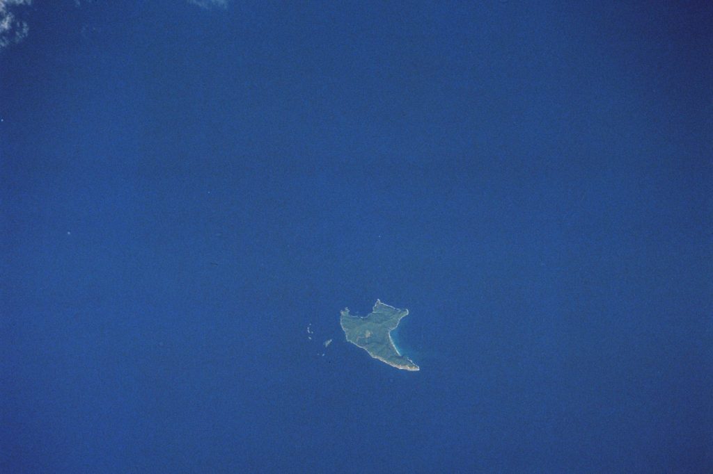
The Kermadec Islands region is a restless stretch of seafloor. On June 26, 2026, at 06:18 UTC, the ground there snapped again. A magnitude 5.1 earthquake, shallow at 10 kilometers deep, was recorded south of the islands by the U.S. Geological Survey.
No tsunami warning followed. That is typical for a quake this size.
But the event fits a pattern. This area, where the Pacific Plate slides under the Indo-Australian Plate, is one of the most seismically active zones on the planet. The subduction zone here has produced at least 500 earthquakes of magnitude 5.0 or greater within roughly 300 kilometers over the past 20 years.
That is one every two weeks on average. The strongest of those was a magnitude 7.4 quake in 2020.
That event likely rattled the same fault system. The June 26 quake is a smaller cousin, a reminder that the machinery is still working. Shallow earthquakes — those less than 70 kilometers deep — tend to produce stronger shaking at the surface than deeper ones of the same magnitude.
This one was at 10 kilometers. That puts it in the upper crust, where rupture can jolt the ground more sharply. For a magnitude 5.1 event, seismologists classify it as moderate.
Such quakes can cause minor to moderate damage near the epicenter. But the Kermadec Islands are remote.
No large population centers sit close to the epicenter. The risk of damage is low. Aftershocks are common after a quake of this size.
They may continue for days or weeks. People in the area are generally advised to be prepared for further shaking.
The U.S. Geological Survey, through its real-time global seismic monitoring network, will track any subsequent events. The network provides data on location, magnitude, depth, and other parameters that help seismologists understand the sequence. The June 26 event did not come out of nowhere.
It is the product of ongoing tectonic stress. The Pacific Plate grinds northwestward at about 50 to 80 millimeters per year relative to the Indo-Australian Plate. That motion is not smooth.
It builds strain along the boundary. When the strain exceeds the strength of the rock, the fault slips.
That slip is an earthquake. This region has seen much larger events. The 2020 magnitude 7.4 quake was one.
Others include a magnitude 8.1 event in 2021. Those larger quakes can trigger aftershock sequences that last months.
A magnitude 5.1 event like this one is a more routine release of stress. It is part of the background noise of a tectonically active planet. The shallow depth means the rupture occurred in the upper crust, where rocks are cooler and more brittle.
Deeper quakes, below 70 kilometers, happen in warmer, more ductile rock. They tend to produce less intense shaking. This one was shallow.
That matters for anyone nearby, though few are. The Kermadec Islands themselves are uninhabited except for a meteorological station on Raoul Island.
The area is a marine reserve. The earthquake likely went unnoticed by anyone not monitoring instruments. But the event is a data point.
It adds to the catalog of seismic activity that helps scientists map the subduction zone and assess future hazards. The U.S. Geological Survey detected the event through its global network.
That network operates in real time. It is the same system that would detect a larger quake and trigger tsunami warnings if needed. No warning came for this one.
The threat level was low. The June 26 earthquake is not a headline event. It is a routine release of energy along a restless boundary.
But routine does not mean meaningless. Every quake, even a moderate one at shallow depth, is a piece of evidence.
It shows the plate boundary is active. It shows the strain is still building. It shows the region remains what it has always been: a place where the Earth moves.




