
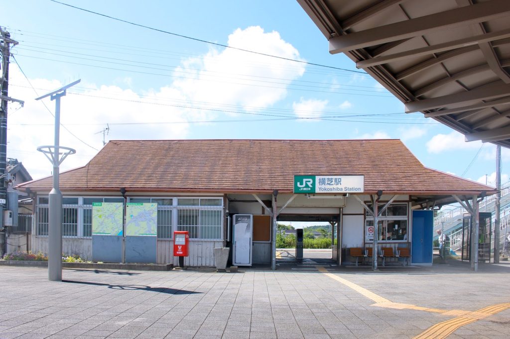
Geological and Regional Context
Yokoshiba is a town in Chiba Prefecture within Japan’s Kanto region, an area that sits on a complex web of tectonic plates. Seismic activity here has been shaped by the ongoing subduction of the Pacific Plate beneath the North American Plate and the Philippine Sea Plate, a process that has generated earthquakes in the region for centuries. The Kanto region, including Yokoshiba, is one of the most seismically active zones in the world, and the USGS data confirms at least 500 earthquakes of magnitude 5.0 or greater have been recorded within approximately 300 kilometers of the epicenter over the past two decades. The strongest in that range was a magnitude 7.9 quake in 2011, a catastrophic event that significantly influenced Japan’s building codes, emergency preparedness, and public awareness of seismic hazards.
The depth of the June 26 earthquake — 55.62 kilometers — places it below the 70-kilometer threshold that separates shallow from deeper events. Shallow earthquakes release their energy closer to the surface, meaning the ground shaking at the epicenter is more intense than a deeper earthquake of the same magnitude. Seismologists note that aftershocks are common following a quake of this size and may continue for days or weeks. Residents in the affected area are generally advised to remain prepared for additional shaking.
Historical Significance and Preparedness
Yokoshiba itself is a municipality that was formed in the mid-20th century through the merger of smaller villages, reflecting the broader consolidation of rural areas in postwar Japan. The town’s location in one of the world’s most geologically active zones makes it a recurring focus of seismic events. Earthquakes, defined as sudden ground shaking caused by movement along faults in the Earth’s crust, are both frequent and historically significant in Japan. The nation’s building codes and emergency response systems have been shaped by centuries of such events, with the 2011 magnitude 7.9 earthquake serving as a stark reminder of the region’s vulnerability.
The latest tremor near Yokoshiba renews attention to the constant, if uneven, seismic risk faced by communities across Japan. The USGS, which detected the event through its global network, provides authoritative data on such occurrences. While the June 26 earthquake did not trigger a tsunami warning and only 16 people reported feeling it, the event underscores the ongoing tectonic reality of the Kanto region. The Pacific Plate continues to subduct beneath the North American and Philippine Sea Plates, a slow but unrelenting process that ensures earthquakes will remain a recurring part of life in this part of Japan for the foreseeable future. The depth, magnitude, and location of this quake serve as a data point in the long record of seismic activity that has shaped both the landscape and the preparedness culture of the country.




