
A moderate earthquake measured at magnitude 5 by the U.S. Geological Survey struck the southern Mid-Atlantic Ridge at 19:55 UTC on July 16. The event, occurring along one of the planet’s most tectonically active underwater mountain ranges, was recorded at a shallow depth of 11.86 kilometers. The USGS confirmed that no tsunami warning was issued following the temblor.
The Tectonic Setting of the Southern Mid-Atlantic Ridge
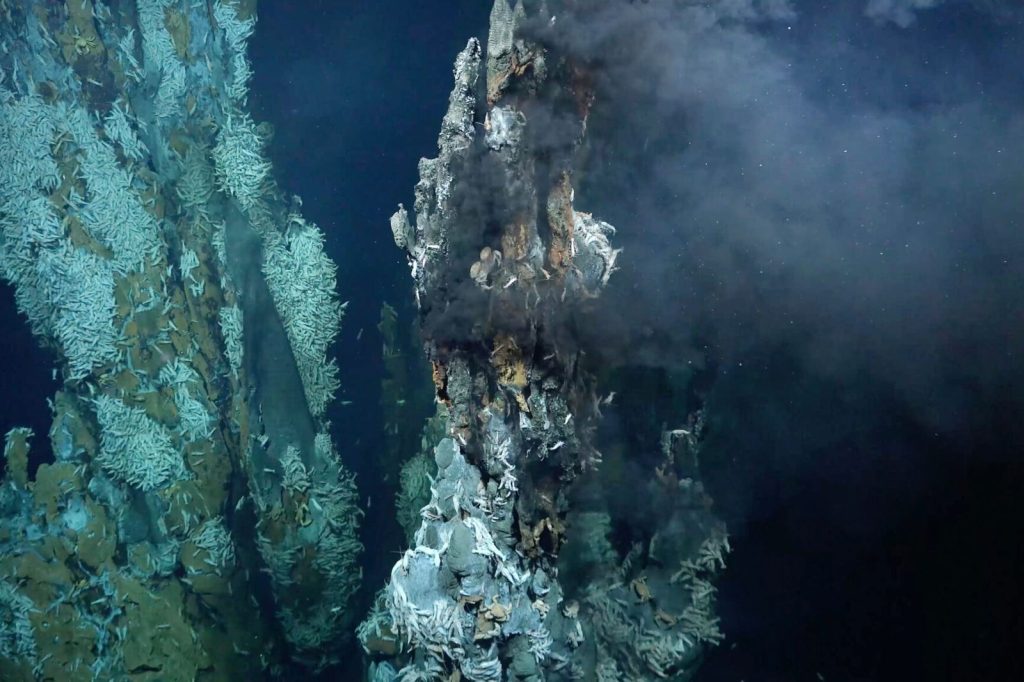
The Mid-Atlantic Ridge itself is a vast underwater mountain range formed by the slow, continuous separation of tectonic plates. Along this geological feature, the North American and South American plates are moving away from the Eurasian and African plates. This process allows magma to rise from the Earth’s mantle, creating new oceanic crust.
Over millions of years, this movement has pushed the continents apart and expanded the Atlantic Ocean basin. The southern portion of this ridge is seismically active precisely because the crust is constantly fracturing and shifting as the plates diverge.
Most of the resulting earthquakes occur far from any populated landmass, which significantly limits the risk to human populations. However, monitoring these events provides scientists with critical data on how the plates are moving and helps assess potential hazards for maritime navigation.
Details of the July 16 Seismic Event
The July 16 earthquake, with its epicenter under the Atlantic Ocean, was too remote to pose any direct threat to populated areas. The shallow depth — under 70 kilometers — meant that the energy released during the quake traveled more directly to the surface.
For any research vessels or passing ships that might have been in the vicinity, the moderate shaking would likely have been felt. However, because the epicenter is far from any landmass, the event’s impact on human activity is limited. Earthquakes in the magnitude 5 range are considered moderate; they can cause minor to moderate damage near the epicenter, but in this case the epicenter lies deep beneath the ocean. The USGS detected the event through its real-time global seismic monitoring network, which ensures that even remote quakes like this one are quickly analyzed.
The agency will continue to monitor the area for aftershocks and any changes in seismic activity, and will release additional details as they become available.
A History of Seismic Activity and Continuous Monitoring
The southern Mid-Atlantic Ridge has a well-documented history of seismic events. Over the past two decades, at least 68 earthquakes of magnitude 5.0 or greater have been recorded within about 300 kilometers of the July 16 epicenter, according to USGS data.
The strongest among these was a magnitude 6.1 quake in 2017. That earlier event also occurred along the ridge, was shallow, and did not generate a tsunami. Because of its remote location, the 2017 earthquake caused no reported damage or casualties.
The same is expected for the July 16 event. Seismologists note that aftershocks are common following an earthquake of this size; they may continue for days or even weeks.
Although the affected area is essentially uninhabited, people in the general vicinity are advised to be prepared for further shaking. The USGS’s real-time network ensures that even distant, underwater earthquakes are detected and documented, adding valuable data points to the long-term record of seismic activity along the Mid-Atlantic Ridge. The July 16 earthquake now stands as another data point in that ongoing scientific record, helping researchers understand the slow, powerful forces that shape the ocean floor.




