
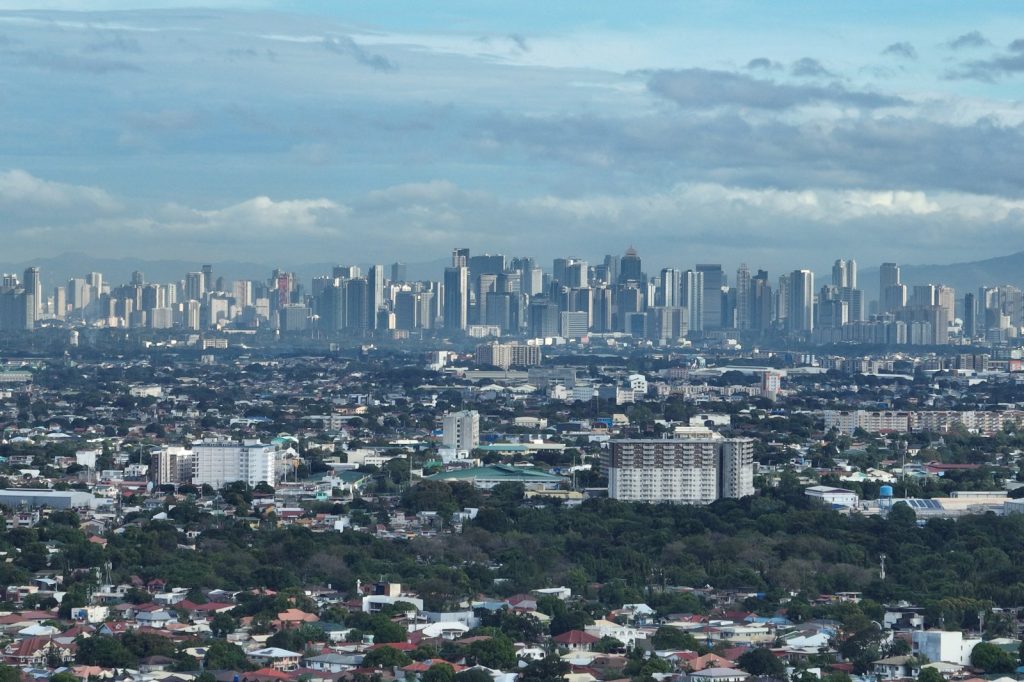
When Typhoon Gaemi struck Metro Manila on July 24, 2024, the capital region’s geography and infrastructure were put to a severe test. Covering roughly 636 square kilometres, the metropolis is home to about 14 million residents, many of whom live on reclaimed land, river deltas and heavily altered riverbanks. The storm’s heavy rains overwhelmed drainage networks, caused rivers to burst their banks and turned city streets into muddy channels.
In response, the national government declared a state of calamity for the region. This declaration is the article’s most significant development because it activates emergency funding, speeds the distribution of relief supplies and imposes price controls on essential items. It also formally acknowledges that the flooding was not an unexpected event but part of an ongoing pattern linked to the area’s low‑lying, densely populated locations.
The hardest‑hit cities—Malabon, Navotas and Valenzuela—lie along the edge of Manila Bay. Their position makes them especially vulnerable whenever a strong storm brings prolonged rainfall. Residents in these locales are accustomed to evacuations, temporary shelters and repeated clean‑up efforts after each flood event.
With the calamity status in place, national resources can be mobilised more quickly, bypassing some of the usual bureaucratic steps. Food, water, medical kits and other necessities can be purchased and delivered faster, a crucial advantage while floodwaters are still receding and many people remain stranded.
Local disaster response teams have been operating around the clock, rescuing families from the most affected neighbourhoods and continuing rescue operations as water levels drop. The declaration also activates price‑freeze measures on basic commodities such as rice, bottled water and canned goods, preventing price gouging that often follows supply shortages during crises.
Officials have warned that the outer bands of Gaemi continue to dump rain over an already saturated metropolis, meaning additional flooding remains a realistic threat. This caution is based on observations from those monitoring water levels, not on speculation.
Metro Manila’s susceptibility to flooding stems from its very foundation. The city sits on reclaimed terrain that gradually subsides, while natural waterways have been straightened, paved over and clogged with debris. Urban development over the decades has not solved these problems; instead, it has amplified them, leaving the capital exposed whenever a typhoon arrives.
Each tropical system tests the region’s flood‑management capacity, exposing weaknesses that can widen into major crises. In the case of Gaemi, the identified cracks were large enough to justify the state‑of‑calamity declaration, signalling that ordinary response mechanisms were insufficient.
The declaration serves several purposes: it acknowledges that the situation exceeds routine emergency measures, it unlocks faster financial and material assistance, and it enforces price controls to protect vulnerable populations from exploitation. It also reinforces a stark reminder that millions of Metro Manila’s inhabitants live on land that is effectively “borrowed” from the sea, making recurrent flooding an inevitable challenge.
Going forward, the speed and effectiveness of the response will be measured against the region’s ability to adapt to its inherent water‑related risks, a test that will recur with each future storm.




