
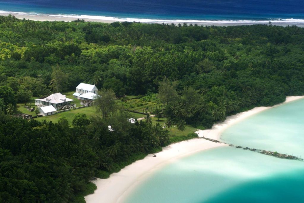
A moderate earthquake shook the remote Chagos Archipelago on July 8, 2026, at 13:01 UTC, according to the U.S. Geological Survey. The USGS, using its real-time global seismic monitoring network, recorded a magnitude 5.4 event that originated at a shallow depth of 10 kilometers. Classified as a moderate earthquake on the magnitude scale, tremors of this size can produce minor to moderate damage near the epicenter.
The USGS confirmed that no tsunami warning was issued following the quake.
Seismic Event and Monitoring
The earthquake was a shallow event, defined by seismologists as occurring at a depth of less than 70 kilometers. Shallow earthquakes of this kind typically produce stronger shaking at the surface compared to deeper events of the same magnitude.
The 10-kilometer depth places this tremor squarely in that category, meaning that ground motion near the origin point may have been more pronounced than a deeper quake of equivalent strength would have generated. The USGS real-time network allowed for rapid detection and analysis, providing immediate data on magnitude, depth, location, and the all-clear on tsunami risk. Seismologists note that aftershocks are common following an earthquake of this size. These secondary tremors may continue for days or even weeks.
People in the affected area are generally advised to remain prepared for further shaking. The USGS will continue to monitor the region through its seismic network, updating its data as new events occur.
The primary focus of ongoing observation will be the possibility of aftershocks.
Regional Seismic History
The Chagos Archipelago region is seismically active. Over the past two decades, the USGS has recorded at least 50 earthquakes of magnitude 5.0 or greater within approximately 300 kilometers of the July 8 event.
The strongest earthquake recorded in that same zone during the last 20 years was a magnitude 5.7 event that struck in 2023. The occurrence of a magnitude 5.4 quake is consistent with the region’s long-term pattern of moderate seismic activity. The presence of the USGS monitoring network ensures that any such event is quickly detected and characterized, contributing to regional awareness and preparedness.
The Strategic and Disputed Archipelago
The Chagos Archipelago is a chain of coral atolls located in the Indian Ocean. It marks the southern end of a long underwater mountain range, a geological feature that helps explain the area’s seismic activity.
The islands passed from French to British control in the early nineteenth century, following a treaty that ended Napoleonic-era colonial arrangements in the region. In 1965, Britain separated the archipelago from its then-dependency of Mauritius to create a new overseas territory. That step cleared the way for a major United States military base on the largest island, Diego Garcia.
Beginning in the late 1960s, the British government removed the local Chagossian population from the archipelago over a span of years. Those islanders and their descendants have since lived elsewhere and pressed for the right to return.
Mauritius has long argued that the islands belong to it, and international courts in recent years have said Britain should hand them over. The archipelago sits far from major population centers, but it holds outsized strategic weight because of the military installation and the unresolved sovereignty question. Any event near these atolls touches on a long-running dispute over who rightfully controls the territory and the people displaced from it. The July 8 earthquake, while moderate in size, serves as a reminder of the region’s active geology and its complicated political landscape.




