
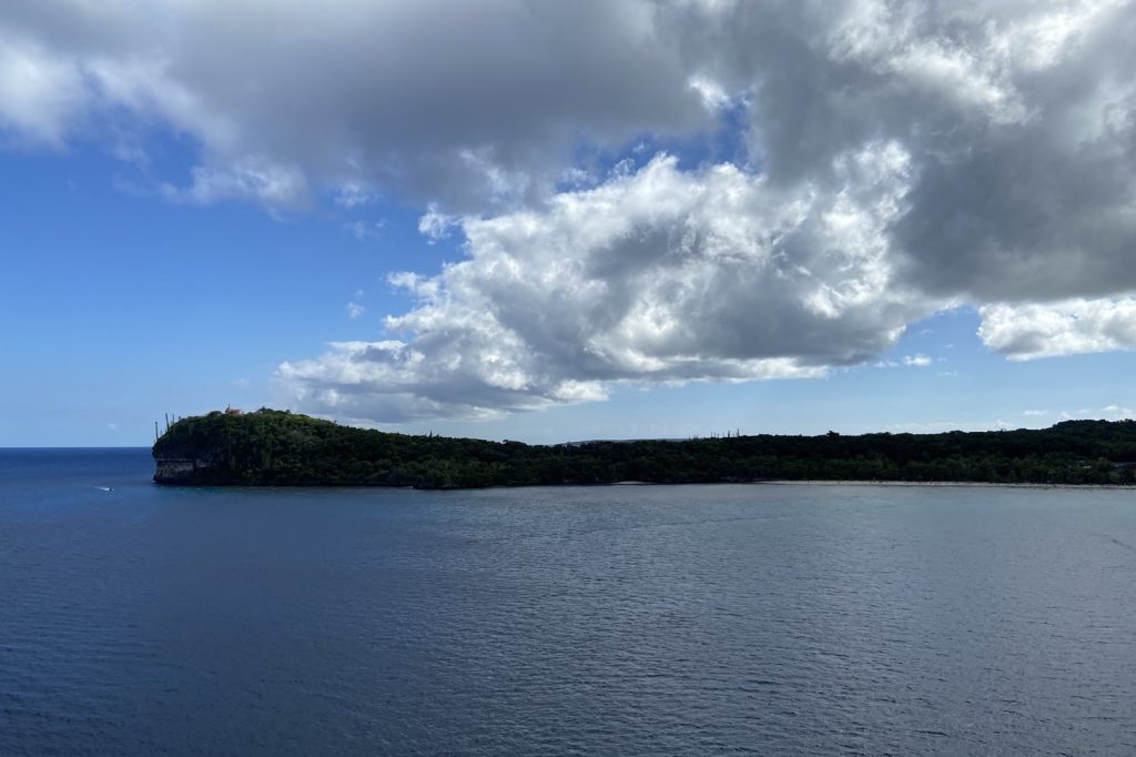
The Loyalty Islands region, a chain of limestone and volcanic outcroppings east of New Caledonia’s main island, sits on a geological fault line that has been restless for decades. On Monday, that restlessness produced a magnitude 6.7 earthquake at 14:45 UTC, according to the U.S. Geological Survey. The quake was shallow — just 10 kilometers deep.
No tsunami warning followed. Shallow earthquakes are the ones you feel.
They release energy close to the surface. At 10 kilometers, this one classifies as a crustal event, the kind that can rattle buildings and unsettle people. Seismologists note that shallow quakes — those less than 70 kilometers deep — tend to produce stronger shaking than deeper ones of the same magnitude.
This was a magnitude 6.7 event. That is strong enough to cause significant damage if it hits near a town.
The epicenter here was southeast of the Loyalty Islands, a sparsely populated chain. But the region is not empty. The Loyalty Islands and the broader area around New Caledonia form part of the Australia-Pacific plate boundary.
That boundary is a zone of frequent seismic activity. The numbers tell the story: over the past 20 years, at least 500 earthquakes of magnitude 5.0 or greater have been recorded within about 300 kilometers of this spot. That is roughly one every two weeks.
The biggest in that record was a magnitude 7.7 event in 2023. That was a big one.
This one was smaller, but still significant. Depth matters. A 10-kilometer depth places this quake in the shallow crust.
In areas with softer soils or sedimentary basins, shallow earthquakes of this magnitude can produce strong ground acceleration. That means the shaking can be amplified in certain places.
The USGS detected the event through its real-time global seismic monitoring network. The network is always listening. Aftershocks are common after a quake of this size.
The record shows they may continue for days or weeks. People in the affected area are generally advised to be prepared for further shaking. That is standard advice.
It is also practical. The ground does not settle quietly after a magnitude 6.7 event.
It keeps moving. The Loyalty Islands region has been seismically active for a long time. This is not a surprise.
The plate boundary here is complex. The Australian plate is moving north and east relative to the Pacific plate.
That movement is not smooth. It builds stress. When the stress exceeds the strength of the rock, it releases in an earthquake.
That is what happened on Monday. The 10-kilometer depth suggests the rupture occurred in the brittle upper crust, where rock behaves like a solid and breaks suddenly. There is no tsunami warning.
That is because the quake was not the type that typically displaces a large column of water. Tsunamis usually come from larger quakes, or from those that cause vertical displacement of the seafloor.
This one did not meet that threshold. The USGS monitors this region closely. The southwestern Pacific is one of the most seismically active areas on Earth.
The record of 500 magnitude 5.0 or greater events in two decades is a reminder of that. The 2023 magnitude 7.7 event was the standout.
That quake likely caused significant shaking and possibly damage. This one was smaller, but still in the magnitude 6 range — a class of earthquake that can be dangerous. For now, the region waits.
Aftershocks may come. The ground may shake again. That is the nature of living on a plate boundary.
The Loyalty Islands have seen it before. They will see it again.




