
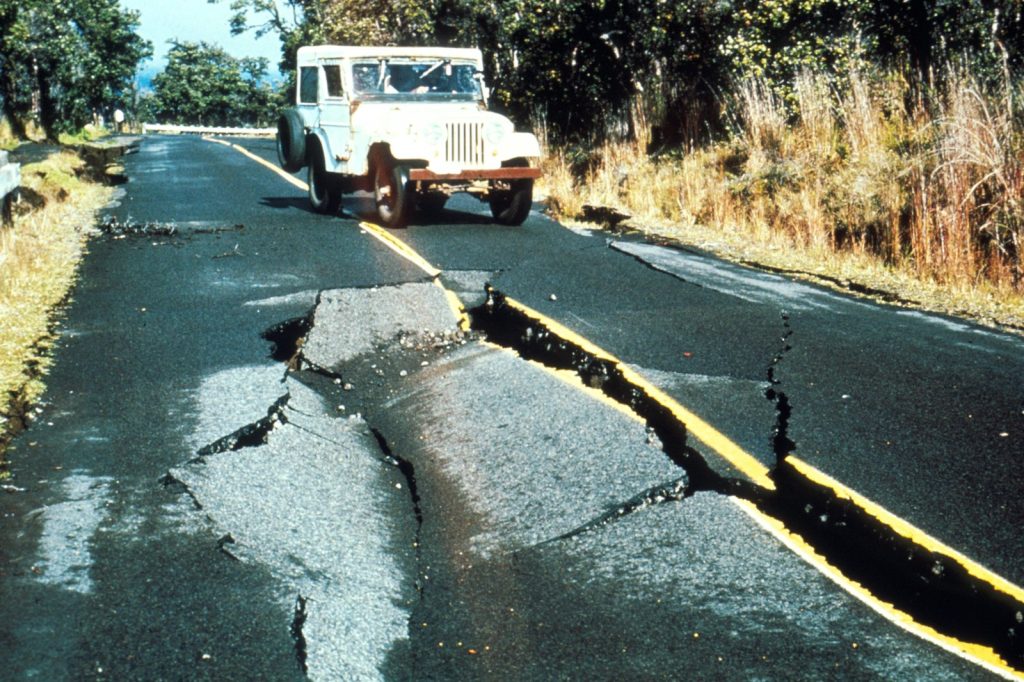
A magnitude 5.2 earthquake struck 24 kilometers southwest of this coastal municipality in Mindanao early Saturday, according to the U.S. Geological Survey. The tremor occurred at 02:21 UTC at a depth of 10 kilometers, placing the rupture zone well within the range of shallow seismic events. The USGS reports that shallow earthquakes–those originating less than 70 kilometers beneath the surface–tend to produce stronger shaking at ground level than deeper events of the same magnitude.
No tsunami warning was issued following the quake. The USGS detected the event using its real-time global seismic monitoring network.
At least two people reported feeling the shaking, the agency noted. Seismologists classify earthquakes in the magnitude 5 range as moderate, capable of causing minor to moderate damage in areas near the epicenter. While the initial shaking has passed, the USGS continues to monitor the region for any subsequent seismic activity.
Tectonic Setting and Regional Seismicity
The Philippines sits along the Pacific Ring of Fire, a horseshoe-shaped belt of intense tectonic activity that rings the ocean basin. Subduction along the Philippine Trench and numerous fault systems generates frequent earthquakes and volcanic eruptions across the archipelago. Balangonan, a coastal town in the province of Davao Occidental on the island of Mindanao, lies close to the Philippine Trench, where the Philippine Sea Plate dives beneath the Sunda Plate.
This tectonic boundary drives the area’s high rate of seismicity. Shallow earthquakes like the one recorded July 4 are common in this setting because fault ruptures occur relatively near the surface.
The historical record underscores the region’s restlessness. At least 500 earthquakes of magnitude 5.0 or greater have been recorded within about 300 kilometers of the Balangonan area over the past two decades, the USGS data show. The most powerful among them was a magnitude 7.8 earthquake that struck in 2026. The country has also endured several major destructive quakes, including the deadly 1990 Luzon earthquake and the 1976 Moro Gulf earthquake, which spawned a devastating tsunami.
These events highlight the persistent tectonic pressures that shape the Philippine archipelago.
Implications and Preparedness
Aftershocks are common following an earthquake of this size, according to seismologists, and may continue for days or even weeks. People in the affected area are generally advised to remain prepared for additional shaking. The USGS continues to monitor the region for any subsequent seismic activity. Even moderate shaking can cause damage in communities built on soft soil or with structures not designed to withstand tremors.
Balangonan and the surrounding region of southern Mindanao remain geologically restless, and the frequency of past earthquakes underscores the ongoing need for public preparedness. The July 4 event serves as a reminder of the tectonic forces at work beneath the Philippine Islands.
While no damage or injuries have been reported from this moderate tremor, the shallow depth and near-surface rupture mean that similar events could produce more significant effects in the future. Residents near Balangonan are advised to stay vigilant and prepared for further shaking as the region continues to experience the routine seismic activity characteristic of the Pacific Ring of Fire.




