
WASHINGTON, July 8 — The record shows that the modern world is built on a layer of machinery in the sky that did not exist sixty years ago. As of 2023, there were over 8,000 active satellites in orbit, providing services that range from telecommunications and internet to navigation and weather forecasting. The timeline of how this came to be is a story of government ambition, military necessity, and scientific breakthrough.
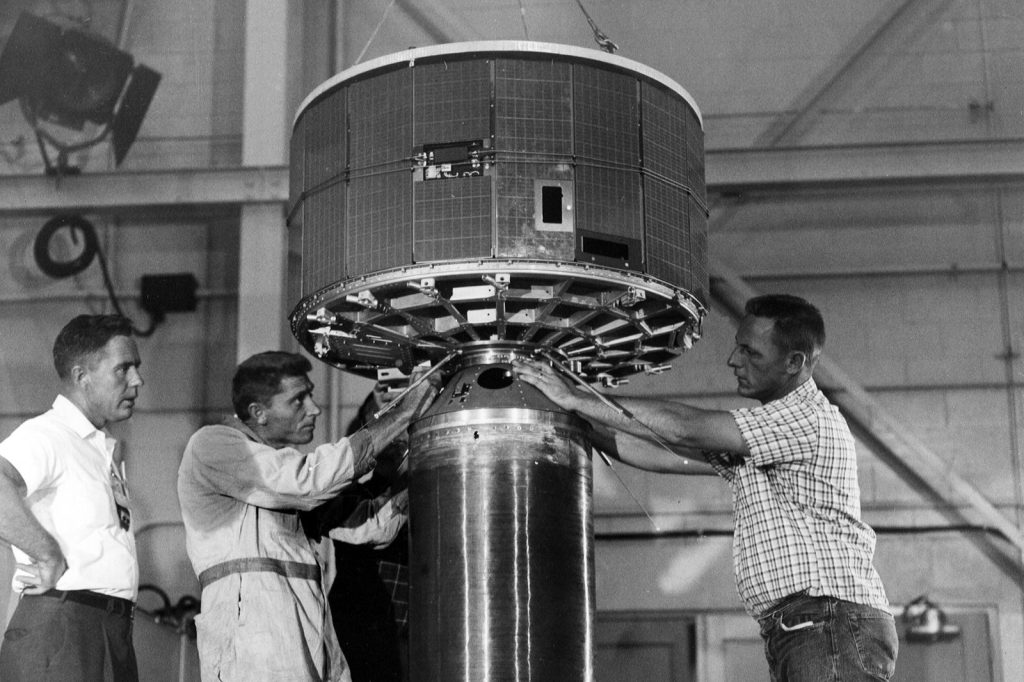
The first television images of weather patterns from space came on April 1, 1960, with the launch of TIROS-1. That satellite opened a new window on the planet, allowing meteorologists to see storms forming from a vantage point no aircraft could reach.
The record shows that this was the beginning of a continuous watch from above that now underpins global forecasting. The Space Race drove rapid development of satellite technology, and the first communications satellite, Telstar 1, was launched by NASA on July 10, 1962. It relayed the first live transatlantic television broadcast, a moment that shrank the Atlantic Ocean to the delay of a signal.
The first geostationary communications satellite, Syncom 2, followed on July 26, 1963, parking itself over a fixed point on the Earth and enabling continuous communication links. The U.S. military developed the first satellite navigation system, Transit, which became operational in 1964.
That system gave ships and submarines a way to fix their position from the sky, but it was a precursor to something far more ambitious. The Global Positioning System was developed by the U.S. Department of Defense, with the first experimental satellite launched in 1978. Full operational capability was declared on April 27, 1995.
As of 2023, GPS uses a constellation of 31 satellites in medium Earth orbit at about 20,200 kilometers altitude, a network that now guides everything from aircraft to smartphone maps. The Landsat program began with Landsat 1 on July 23, 1972, providing continuous Earth observation data for agriculture, forestry, and urban planning. That program gave scientists and governments a systematic record of how the planet’s surface changes over time, from deforestation to urban sprawl.
The data from Landsat satellites has become a foundational resource for environmental monitoring. The sheer scale of the modern satellite population is a fact that can be stated with precision from the record.
More than 8,000 active satellites now orbit the Earth. They provide telecommunications, internet, broadcasting, navigation, weather forecasting, and Earth observation. The infrastructure that once required ground-based towers and submarine cables is now, in significant part, overhead.




