
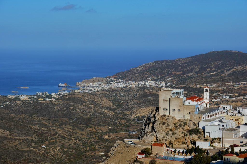
KARPATHOS, Greece — The shaking was shallow. That is the problem. When the U.S. Geological Survey logged a magnitude 5.2 earthquake 23 kilometers south-southeast of Karpathos on Thursday morning, its automated systems calculated a depth of just 10 kilometers.
For seismologists, that number matters more than the magnitude alone. Shallow earthquakes — anything less than 70 kilometers down — concentrate their energy release closer to the surface.
The same magnitude at 30 kilometers depth might rattle windows. At 10 kilometers, it can crack walls. The quake hit at 11:06 UTC.
No tsunami warning came. But the risk does not end with the initial shock.
Aftershocks are the next hazard. The USGS standard monitoring protocols track them as a matter of course. Seismologists know that earthquakes of this size commonly produce follow-up tremors that can continue for days or even weeks.
Each aftershock carries its own potential for damage, especially to structures already weakened by the main event. The southern Dodecanese islands, with their mix of modern reinforced concrete and older stone buildings, face a particular vulnerability. Building standards vary.
The precise location of the fault rupture determines which settlements take the brunt. The Aegean tectonic zone is restless.
That is not alarmism; it is a record. The USGS data show at least 136 earthquakes of magnitude 5.0 or greater have occurred within roughly 300 kilometers of Thursday’s epicenter over the past two decades. The largest among them was a magnitude 7 event in 2020.
A magnitude 5.2 is classified as moderate. It can cause minor to moderate damage near the epicenter.
But moderate does not mean harmless. What is being done to manage the risk? The USGS operates a real-time global seismic monitoring network that detected this event as it happened.
Automated calculations followed within minutes. The agency issues no specific warnings beyond standard protocols for events of this size. Local authorities in Greece typically coordinate their own response, relying on national seismic networks and civil protection agencies.
The USGS does not direct evacuation or building inspections. It provides data.
What happens next depends on local capacity. For residents of Karpathos and the surrounding islands, the immediate advice is straightforward: be prepared for further shaking. That means securing heavy furniture, knowing safe spots in each room, and having supplies on hand.
It is not dramatic advice. It is the same advice that follows every moderate earthquake in a seismically active region.
The energy release was concentrated near the surface. The shaking was felt across a wider area of the southeastern Aegean Sea. The fault that slipped Thursday is part of a larger system that has produced dozens of magnitude 5-plus events in recent memory.
The next one could come tomorrow. It could come next month. The USGS will detect it.
The question is whether the buildings and the people above that fault are ready.




