
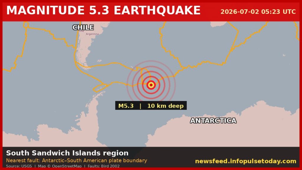
For the people who live and work on the handful of volcanic islands that make up the South Sandwich chain, Thursday morning brought another jolt. The U.S. Geological Survey recorded a magnitude 5.3 earthquake at 05:23 UTC. It was shallow.
Very shallow. Ten kilometers down.
That depth matters. Seismologists call anything shallower than 70 kilometers a shallow quake. At 10 kilometers, this one was near the surface.
The energy had less rock to travel through before it hit the seafloor. For anyone in a building above it, the shaking would have been sharper than a deeper quake of the same size.
Think of a rock dropped from waist height versus one dropped from a second-story window. Same rock. Different impact.
The practical reality for the people stationed in this region — and there are people here, mostly at the British Antarctic Survey bases on South Georgia and the British overseas territory’s research outposts — is that aftershocks are likely. They can stretch out for days. Sometimes weeks.
The USGS data makes that plain. This is not a place where earthquakes are rare.
Over the past two decades, the USGS has logged at least 500 earthquakes of magnitude 5.0 or greater within about 300 kilometers of this spot. That is roughly one every two weeks. The biggest one in that period was a magnitude 7.4 event in 2006.
That one released exponentially more energy. The logarithmic scale means a 7.4 is not just a little bigger than a 5.3.
It is hundreds of times more powerful. Thursday’s quake was moderate. Magnitude 5 range.
Enough to rattle dishes off shelves if there were any nearby. Enough to crack plaster. The epicenter was in a remote ocean region.
Far from populated land. That is the saving grace.
But remote does not mean empty. The South Sandwich Islands sit on the edge of the Scotia Plate, where the South American Plate is sliding under the Sandwich Plate. That tectonic boundary is restless.
It always has been. The USGS detected this event through its global seismic monitoring network.
That network runs in real time. It tracks earthquakes everywhere. Scientists get location, depth, and magnitude fast.
No tsunami warning was issued for this one. That is standard for a 5.3 in deep ocean. The wave danger comes from bigger quakes that displace a lot of seafloor vertically.
This one did not. For the people who do live in the broader region — the Falkland Islands, about 1,500 kilometers west, or the tip of South America — the practical effect was zero.
No shaking felt. No alerts. The only people who likely noticed were the researchers and support staff on the islands themselves, and even they probably just felt a brief roll.
The British Antarctic Survey keeps a permanent presence at King Edward Point on South Georgia. They are used to this.
The USGS data shows the South Sandwich Islands region is seismically active. That is an understatement. Five hundred quakes of magnitude 5 or greater in twenty years.
The strongest was a 7.4. That one would have been felt hard. This one was not that.
But for anyone in the area, the message is the same: the ground here moves. It moves often.
And when it moves shallow, you feel it.




