
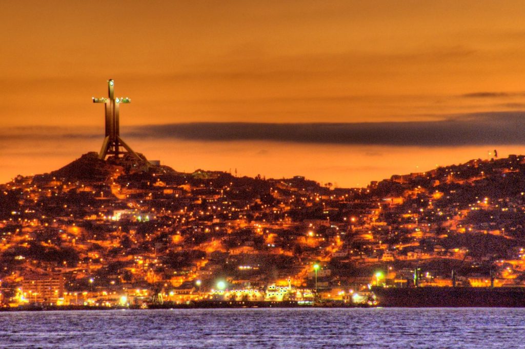
The Pacific seabed shuddered at 15:53 UTC today, sending seismic energy racing toward the Chilean coast. The U.S. Geological Survey measured the event at magnitude 5.0, with its epicenter located 106 kilometers northwest of Coquimbo, a city long familiar with the geological volatility of the Ring of Fire.
The depth registered at just 10 kilometers, placing it firmly in the category of shallow earthquakes known to transmit stronger shaking to the surface than deeper ones of equal magnitude. No tsunami warning was issued.
A Moderate Jolt in a Restless Zone
As darkness fell, residents across the coastal region were describing the scene. A magnitude 5 earthquake is considered moderate on the global scale, capable of inflicting minor to moderate damage near the epicenter but unlikely to collapse structures.
For a population living in one of the planet’s most seismically active zones, however, any ground movement commands immediate attention. The U.S. Geological Survey’s global seismic monitoring network detected the tremor in real time, feeding data to scientists and emergency managers who watch the Pacific basin for signs of danger. The agency’s network is designed to catch such tremors the moment they happen, providing critical information to those responsible for public safety.
Seismologists note that aftershocks are common following an earthquake of this size. They may continue for days or even weeks.
People in the affected area are generally advised to be prepared for further shaking. That is the standard warning, and in a place like this, it is taken seriously.
Living Memory of Larger Catastrophes
The numbers tell the story of a restless landscape. According to USGS records, at least 328 earthquakes of magnitude 5.0 or greater have been recorded within about 300 kilometers of this spot over the past two decades.
That works out to roughly one moderate or larger quake every three weeks, on average, for twenty years running. The strongest of them all was a magnitude 8.3 event in 2015. That was a monster.
Today’s quake was a fraction of that power, but the ground here does not forget. A magnitude 5 earthquake at a depth of 10 kilometers is a reminder of the tectonic machinery grinding away beneath the ocean floor, not a catastrophe unfolding.
But in a region that has seen a magnitude 8.3 within living memory, every tremor is a signal. The ground here speaks often. Today, it spoke again.
For now, the immediate threat appears limited. The USGS detected the event in real time, confirming that the shaking was strong enough to be felt with some force on the surface.
Shallow earthquakes — those less than 70 kilometers deep — tend to produce stronger shaking at the surface than deeper ones of the same magnitude. That makes this one a jolt that people on the ground likely felt with some force. The USGS network, which feeds data to scientists and emergency managers who monitor the Pacific basin for signs of danger, provided near-instantaneous notification.
Living on the Ring of Fire
Coquimbo lies along the Pacific Ring of Fire, a horseshoe-shaped belt of tectonic plate boundaries and volcanic arcs that encircles the Pacific Ocean. This region is characterized by frequent earthquakes and volcanic eruptions, the result of the Nazca Plate subducting beneath the South American Plate.
The city knows the violent rhythm well. The 2015 magnitude 8.3 earthquake, which struck off the coast of Coquimbo, triggered a tsunami that caused widespread damage and killed several people. That event remains a reference point for residents, a reminder that even moderate shaking can be a precursor to something larger or a standalone event.
Seismologists note that aftershocks are common following an earthquake of this size. They may continue for days or even weeks.
People in the affected area are generally advised to be prepared for further shaking. That is the standard warning, and in a place like this, it is taken seriously. The U.S. Geological Survey’s global seismic monitoring network detected the tremor in real time, feeding data to scientists and emergency managers who watch the Pacific basin for signs of danger.
For now, no further warnings have been issued, and the event remains a moderate reminder of the forces at work beneath the seafloor.




