
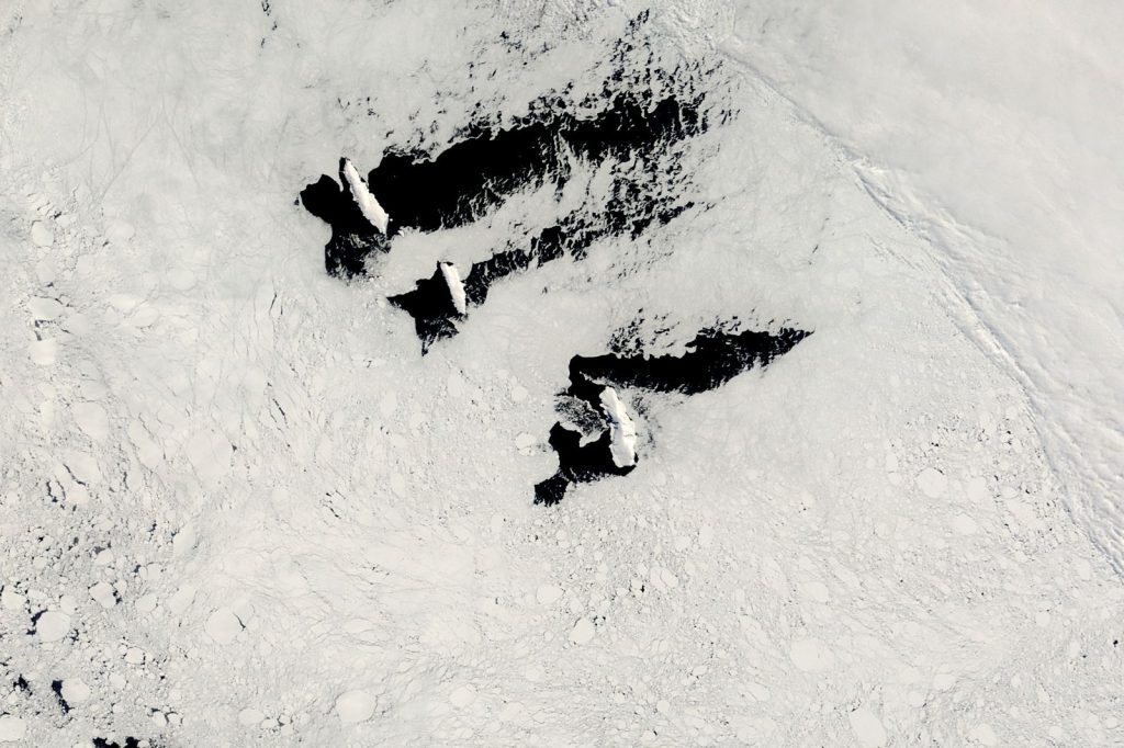
The Balleny Islands region shook Wednesday with a magnitude 5.5 earthquake, a moderate event that fits a well-documented pattern of seismic activity along a remote tectonic boundary. The U.S. Geological Survey recorded the quake at 19:07 UTC at a depth of 10 kilometers. No tsunami warning was issued.
But this single event tells a larger story. The record shows at least 92 earthquakes of magnitude 5.0 or greater have occurred within roughly 300 kilometers of that spot over the past two decades.
That is nearly five moderate quakes a year. The strongest among them was a magnitude 6.6 event in 2021. Wednesday’s earthquake was shallow.
Seismologists classify anything less than 70 kilometers deep as shallow. At 10 kilometers, this one sat near the surface.
Shallow earthquakes release energy closer to the ground. That means stronger shaking at the surface compared to a deeper quake of the same magnitude. A magnitude 5.5 at 10 kilometers will rattle the ground more than a magnitude 5.5 at 100 kilometers.
The Balleny Islands sit along a tectonic boundary where the Australian and Antarctic plates meet. That boundary is active. Most events here are moderate.
Most occur far from populated areas. The islands themselves are uninhabited.
They lie in the Southern Ocean, north of Antarctica. No cities. No towns.
No one to feel the shaking. Compare Wednesday’s quake to the 2021 magnitude 6.6 event.
That was the strongest in the region in two decades. A magnitude 6.6 releases about 15 times more energy than a 5.5. Yet neither caused reported damage.
Neither triggered a tsunami. Both were too remote. That remoteness does not make the data useless.
The USGS monitors global seismic activity continuously. Its real-time network detected Wednesday’s event instantly.
Every quake, no matter how isolated, feeds into models that help scientists understand fault behavior, stress accumulation, and rupture patterns. A shallow 5.5 in the Balleny Islands tells seismologists something about how the Australian and Antarctic plates are grinding past each other right now. Aftershocks are common after a quake this size.
They can continue for days or weeks. The USGS advises people in affected areas to prepare for further shaking.
In this case, the affected area is empty ocean and ice. Earthquakes in the magnitude 5 range are classified as moderate. They can cause minor to moderate damage near the epicenter.
That classification applies globally. But context matters. A magnitude 5.5 near a city is a different story.
A magnitude 5.5 in the Balleny Islands is a data point. The 2021 magnitude 6.6 was also shallow.
It also produced no damage, no injuries, no tsunami. That event, like this one, was logged and filed. The pattern continues.
The plates keep moving. The USGS keeps listening.
For those watching the region, Wednesday’s quake is not surprising. It is another entry in a long list. The question is not whether the next one will come.
It is when, and how big. The record says the next magnitude 6.6 or larger could arrive anytime. Or it could be another 5.5.
Or a 5.0. The boundary does not follow a schedule.
What the data show is consistency. Ninety-two moderate or larger quakes in 20 years. A shallow depth every time.
A tectonic boundary that does not rest. The Balleny Islands keep shaking.
The USGS keeps recording. The pattern keeps repeating.




