
A moderate earthquake with a magnitude of 5.3 struck approximately 192 kilometers west-northwest of Gorontalo, Indonesia, on July 12, 2026, at 13:46 UTC, according to the U.S. Geological Survey. The U.S. Geological Survey detected the event through its real-time global seismic monitoring network.
The quake occurred at a depth of 35 kilometers, placing it in the category of shallow seismic events, and no tsunami warning was issued. Seismologists classify earthquakes less than 70 kilometers deep as shallow, and such events typically produce stronger shaking at the surface than deeper events of the same magnitude. A magnitude 5.3 earthquake is considered moderate; it is capable of causing minor to moderate damage near the epicenter.
The quake’s remote offshore location, about 192 kilometers from Gorontalo, may have spared densely populated areas from the worst of the shaking. The U.S. Geological Survey data provides a clear picture of the event’s characteristics but does not include immediate reports of damage or casualties.
Such reports often take time to emerge, particularly in remote areas.
Seismic History and Regional Context
The area surrounding the epicenter is no stranger to powerful earthquakes. According to the U.S. Geological Survey, at least 227 earthquakes of magnitude 5.0 or greater have been recorded within approximately 300 kilometers of this location over the past two decades.
The strongest among them was a magnitude 7.5 earthquake in 2018. The seismic history of the region suggests that this event is part of a long-term pattern of tectonic activity. The 2018 magnitude 7.5 earthquake stands as a stark reminder of the region’s potential for much larger and more destructive events.
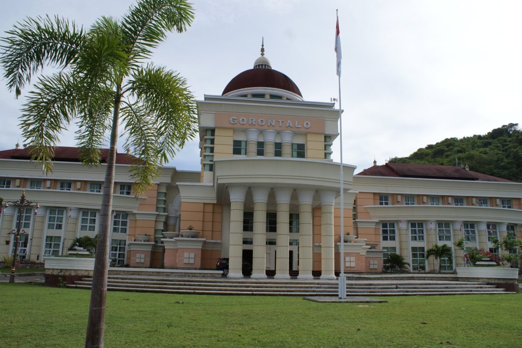
Gorontalo is a province of Indonesia situated on the island of Sulawesi. It was carved out of North Sulawesi and became a separate province at the close of the year 2000.
The area lies on the Minahasa Peninsula and shares land borders with North Sulawesi and Central Sulawesi. Its northern waters meet the Sulawesi Sea, while the Gulf of Tomini lies to the south. Before colonial administration, local kingdoms in Gorontalo used Islamic law in governance and courts. The province later earned a nickname linking it to an early center of Islamic civilization.
Gorontalo is a relatively young Indonesian province with a distinct cultural identity, and its location on a seismically active peninsula helps explain why moderate earthquakes are a recurring concern for those who live there.
Depth and Impact Assessment
The 35-kilometer depth of this earthquake is a key factor in understanding its potential impact. Shallow earthquakes release their energy closer to the Earth’s surface, which typically results in stronger shaking compared to deeper events.
For a magnitude 5.3 earthquake, the zone of strongest shaking is usually concentrated near the epicenter, but the effects can still be felt over a wide area. The moderate magnitude and offshore location suggest that any damage would likely be limited to minor structural issues near the epicenter. For people living in the affected area, the immediate concern is the possibility of aftershocks. Seismologists note that aftershocks are common following an earthquake of this size and may continue for days or even weeks.
Residents are generally advised to be prepared for further shaking. The U.S. Geological Survey continues to monitor the region through its global seismic network for any subsequent events.
The U.S. Geological Survey will continue to track any aftershocks, and residents are advised to stay informed through official channels as the situation develops.




