The United States Geological Survey recorded a magnitude 5.1 earthquake in the remote South Atlantic near Tristan da Cunha on August 1, striking at 11:07 UTC.
The details that matter are positional. The epicenter was offshore, in one of the most isolated stretches of ocean on the planet, at a depth of 10 kilometers. Both facts limited the immediate exposure of populated communities on the world’s most remote inhabited island group.
The encouraging part is in the early numbers. The Global Disaster Alert and Coordination System, which provides preliminary exposure estimates based on where an event hits and who lives nearby, found no population within 100 kilometers of where the quake hit. Available official records described no damage and no casualties, and nothing in the early data argued for concern on land.
What the evidence shows, and what it does not: the USGS record anchors the location, timing, magnitude and depth figures, and those establish that the earthquake happened. They do not, by themselves, establish whether anyone on Tristan da Cunha felt it, or whether smaller aftershocks came after.
For context, a 10-kilometer rupture is shallow by seismological standards, the kind of depth that tends to deliver more of its energy toward the surface than a deeper event of the same size. Shaking strength at any one place, though, depends mostly on distance, and here the nearest settlement was well beyond the strongest shaking. For scale, a 5.1 sits low on the magnitude ladder: each full step upward multiplies released energy roughly thirtyfold, which is why mid-5 events at sea so often end as data points rather than disasters. Early depth figures also tend to be refined as more seismic stations report in.
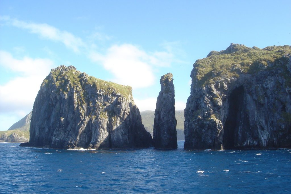
Why a sea event near a tiny island still matters: observations from remote ocean regions help monitoring agencies track activity that may never be widely felt or independently reported. Each well-located event refines the picture of how the mid-Atlantic ridge system behaves around the archipelago, where instruments, not eyewitnesses, are usually the first and only reporters.
What to watch next: revisions, if any, to the magnitude, depth or epicenter coordinates in the USGS entry; recorded aftershocks or word that the quake was felt on nearby islands; and any later assessment from regional authorities. For now, the early data points to a sea event, not a land one, and distance, for once, has done the protective work all by itself.