
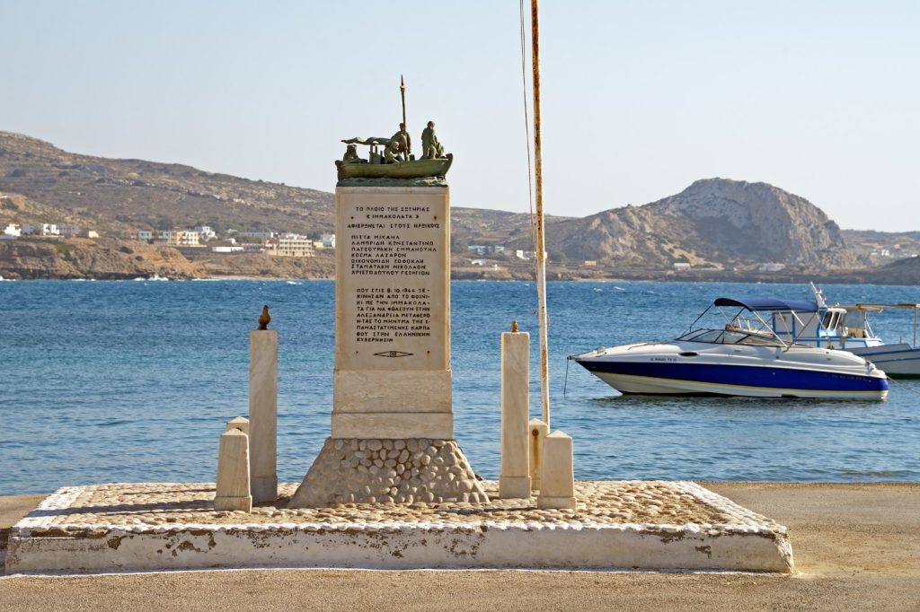
KARPATHOS, Greece, July 2 — A magnitude 5.2 earthquake struck 23 kilometers south-southeast of the Greek island of Karpathos on Thursday morning, according to the U.S. Geological Survey, sending tremors across the southeastern Aegean Sea. The quake hit at 11:06 UTC at a depth of 10 kilometers, the USGS reported. No tsunami warning was issued.
Shallow earthquakes — those less than 70 kilometers deep — typically produce stronger shaking at the surface than deeper events of the same magnitude, and at 10 kilometers this was a shallow event. Against this backdrop of a restless Aegean tectonic zone, the region is no stranger to seismic activity.
The USGS records show that at least 136 earthquakes of magnitude 5.0 or greater have occurred within about 300 kilometers of this location over the past two decades. The strongest among them was a magnitude 7 event in 2020. Earthquakes in the magnitude 5 range are classified as moderate.
They can cause minor to moderate damage near the epicenter, though much depends on local building standards and the precise location of the fault rupture. At a depth of just 10 kilometers, the energy release was concentrated relatively close to the surface, increasing the potential for shaking to be felt across a wider area of the southern Dodecanese islands.
Seismologists note that aftershocks are common following an earthquake of this size and may continue for days or even weeks. People in the affected area are generally advised to be prepared for further shaking, though the USGS has not issued any specific warnings beyond its standard monitoring protocols. The USGS detected the event through its real-time global seismic monitoring network, which tracks earthquakes as they happen across the planet.
The agency’s automated systems quickly calculated the magnitude, depth, and location, providing near-instantaneous data to authorities and the public. Karpathos lies between Crete and Rhodes in a zone where the African tectonic plate slides beneath the Eurasian plate, a collision that generates frequent earthquakes across the southern Aegean arc. The broader region has a long history of significant seismic events, and the 2020 magnitude 7 earthquake remains a reference point for local seismologists assessing the current sequence.
For residents of Karpathos and nearby islands, the immediate concern will be whether this moderate event is a mainshock or a precursor to something larger. The standard advice from seismologists — to remain alert for aftershocks in the days and weeks ahead — applies here, as it does across this seismically active corner of the Mediterranean.




