July twenty-one twenty twenty-six. A magnitude five point six earthquake struck the Kermadec Islands region at twelve fourteen UTC, the U.S. Geological Survey reported. The quake occurred at a depth of ten kilometres – shallow, meaning it typically produces stronger shaking at the surface than deeper earthquakes of the same magnitude. No tsunami warning was issued.
This is a moderate earthquake. Seismologists classify events in the magnitude five range as capable of causing minor to moderate damage near the epicentre, though the remoteness of the Kermadec Islands means few people are likely to have felt it. The shaking would have been brief but possibly startling for anyone in the area. The depth, while shallow, is not unusual for this tectonically active region.
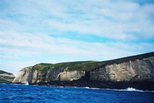
The Kermadec Islands sit northeast of New Zealand in the South Pacific Ocean, within one of the world’s most seismically active zones – the Pacific Ring of Fire. The region is marked by the subduction of the Pacific Plate beneath the Australian Plate, a process that generates powerful earthquakes and volcanic eruptions along the Kermadec-Tonga subduction zone. Earthquakes of this magnitude are relatively common here due to the plate boundary.
While a magnitude five point six quake is considered moderate, its impact varies with depth and proximity to populated areas. Shallow earthquakes produce stronger ground shaking, though the remoteness typically limits damage or casualties. The absence of a tsunami warning reflects the quake’s moderate size and depth – larger or shallower events in this region have historically posed greater tsunami risks.
Pandita Data’s analysis confirms minimal direct insurance impact – zero claims anticipated, zero estimated insured loss, GREEN PAGER alert. The territory has minimal developed infrastructure and no populated urban centres. However, insurers with exposure to New Zealand, Samoa, Tonga, and Fiji should note this seismic activity reinforces the underlying tectonics driving their regional risk models. The Kermadec subduction zone maintains a high baseline seismic hazard composite score. Underwriters should monitor cumulative seismic activity in the region via Pandita Data’s Brain Dashboard. Repeated moderate earthquakes can signal stress accumulation – valuable intelligence for catastrophe modeling teams updating exceedance probability curves for Pacific basin reinsurance treaties.
For policyholders in seismically active regions: maintain detailed baseline photography and structural condition reports. If future, larger seismic events occur, clear pre-event documentation accelerates claims validation. Brokers and reinsurers should verify Pacific basin catastrophe bonds and XL reinsurance treaties properly account for Kermadec subduction zone hazard. This M five point six event is a data point confirming the zone’s ongoing seismic activity – use it to validate treaty pricing assumptions.
The encouraging part: no damage, no casualties, no tsunami. Early findings suggest the region’s monitoring systems function as intended. Talk to your insurer about whether your coverage reflects the seismic hazard of the broader Pacific basin.