A magnitude 5.8 earthquake hit the Aleutian Islands late on Saturday night, and almost nobody was close enough to feel it. The U.S. Geological Survey said no one had reported shaking. Fox Weather reported that no tsunami threat was issued.
The time depends on the clock. The Alaska Earthquake Center logged the quake at 00:35:20 on July 26 Alaska daylight time, which is 08:35:20 UTC. The USGS put it at 11:35 p.m. local time on Saturday, 8:35:18 UTC, in Fox Weather’s account.
Where it struck
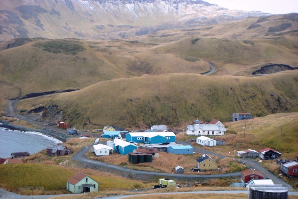
The epicenter lay southeast of Atka, a village on the Aleutian chain. The two agencies’ early numbers differ a little. The Alaska Earthquake Center, whose solution a seismologist has reviewed, placed it 65 miles southeast of Atka at 51.4062 degrees north, 173.3519 degrees west, and measured the depth at 3.1 miles (5 km). The USGS, as quoted by Fox Weather, gave about 61.5 miles from Atka and a depth of about 6 miles.
Both figures describe a shallow rupture in open ocean country. The center’s list of nearby landmarks shows how empty the area is: 74 miles (119 km) southwest of Seguam Island, 95 miles (154 km) southeast of Koniuji Island, 127 miles (205 km) east of Great Sitkin Island. The center lists the magnitude as an ML value. Fox Weather suggested the distance to Atka explains why no one reported feeling it.
A restless arc
None of this is unusual for the Aleutians. The chain marks the place where the Pacific Plate dives into the mantle beneath the North American Plate, and the Alaska Earthquake Center counts thousands of earthquakes there each year.
Since 1900 the region has produced several great megathrust quakes: a magnitude 8.6 in the Andreanof Islands in 1957, a magnitude 8.7 in the Rat Islands in 1965, magnitude 7.9 events in the Andreanof Islands in 1986 and 1996, and a magnitude 7.8 in the Rat Islands in 2003. Together, the center says, they have broken the full length of the megathrust boundary there.
A second source lies deeper. A band of intermediate-depth earthquakes, 6 to 9 miles (10 to 15 km) wide, runs through the sinking Pacific Plate. The biggest ever recorded in the region was the magnitude 7.9 Little Sitkin event of 2014.
A third source is shallow, tied to volcanoes and to faults in the plate above. Those quakes occur regularly, the center says, and can set off vigorous aftershock sequences or swarms.
Fox Weather placed the Atka quake among a run of recent activity around the Pacific Ring of Fire, including magnitude 4.2 and 4.6 shocks in Guatemala and Nicaragua, two countries also hit by a magnitude 7.3 earthquake on July 17.