
Balleny Islands Region, July 3 — A moderate earthquake has struck one of the most isolated stretches of the Southern Ocean, underscoring the relentless tectonic activity that shapes this remote corner of the planet. The U.S. Geological Survey (USGS) recorded a magnitude 5.3 earthquake on Friday at 20:22 UTC, centered in the Balleny Islands region.
The quake occurred at a depth of 10 kilometers, placing it firmly in the category of a shallow earthquake, and no tsunami warning was issued.
Seismic Event in a Remote Tectonic Zone
The Balleny Islands region sits along a tectonic boundary where the Australian and Antarctic plates meet, creating a seismically active zone that scientists compare to a busy intersection for tectonic plates. A depth of 10 kilometers, well within the threshold of less than 70 kilometers that defines shallow earthquakes, means that shaking near the epicenter is typically more intense than it would be from a deeper event of the same magnitude.
While a magnitude 5.3 earthquake is considered moderate, capable of causing minor to moderate damage near the epicenter, the Balleny Islands are largely uninhabited with little infrastructure to be affected. Over the past two decades, the USGS has recorded at least 108 earthquakes of magnitude 5.0 or greater within approximately 300 kilometers of this location. The strongest tremor in that period was a magnitude 6.6 event in 2021.
Hundreds of moderate to large tremors have been recorded across this part of the Southern Ocean over the past several decades, a pattern that reflects the constant movement of the Earth’s crust along this tectonic boundary. Shallow earthquakes are typical here, meaning their shaking can be more pronounced near the epicenter than deeper quakes of the same size.
The Balleny Islands: A Natural Laboratory
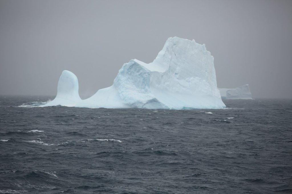
The Balleny Islands are an uninhabited, glaciated volcanic archipelago in the Southern Ocean, north of Antarctica. They are of volcanic origin, formed by a deep mantle hot spot, and their steep, glacier-covered slopes rise directly from the sea.
The islands extend across a broad stretch of ocean. The first recorded human sighting of the islands came in 1839, when English sealing captains John Balleny and Thomas Freeman sailed through these waters. Freeman made the first known landing south of the Antarctic Circle on one of the islands later that year.
No other humans are known to have set foot on the islands for more than a century, until an Australian expedition surveyed them in 1948. In recent decades, scientific voyages have visited the area to study marine life, including humpback whales and penguin colonies that nest on the rocky shores.
The region’s long history of seismic activity is well documented. The location along a tectonic boundary where the Australian and Antarctic plates meet explains the frequent earthquakes. Because the area is largely uninhabited, these quakes rarely make headlines despite their frequency.
Each event, however, adds to a growing body of data that helps scientists understand how this tectonic boundary behaves. The USGS detected the event through its real-time global seismic monitoring network, which constantly tracks ground motion around the planet, providing critical information for refining models of plate movement and earthquake hazards elsewhere.
Looking Ahead: Aftershock Sequence Under Watch
Seismologists note that aftershocks are common following an earthquake of this size. They may continue for days or even weeks.
With a magnitude 5.3 shallow quake, there is a real possibility of smaller follow-up events in the coming days. People in the affected area — though in this case limited to scientific expeditions or passing vessels — are generally advised to be prepared for further shaking and not to assume the main event is over just because the ground has stopped moving. The USGS monitoring network will continue tracking any developments in the region.
For now, the event serves as a reminder that even the most remote corners of the planet are constantly shifting beneath our feet. The Balleny Islands, a natural laboratory where the Earth’s restless geology unfolds with little human interference, offer a pristine setting for studying the forces that shape the planet’s surface.




