
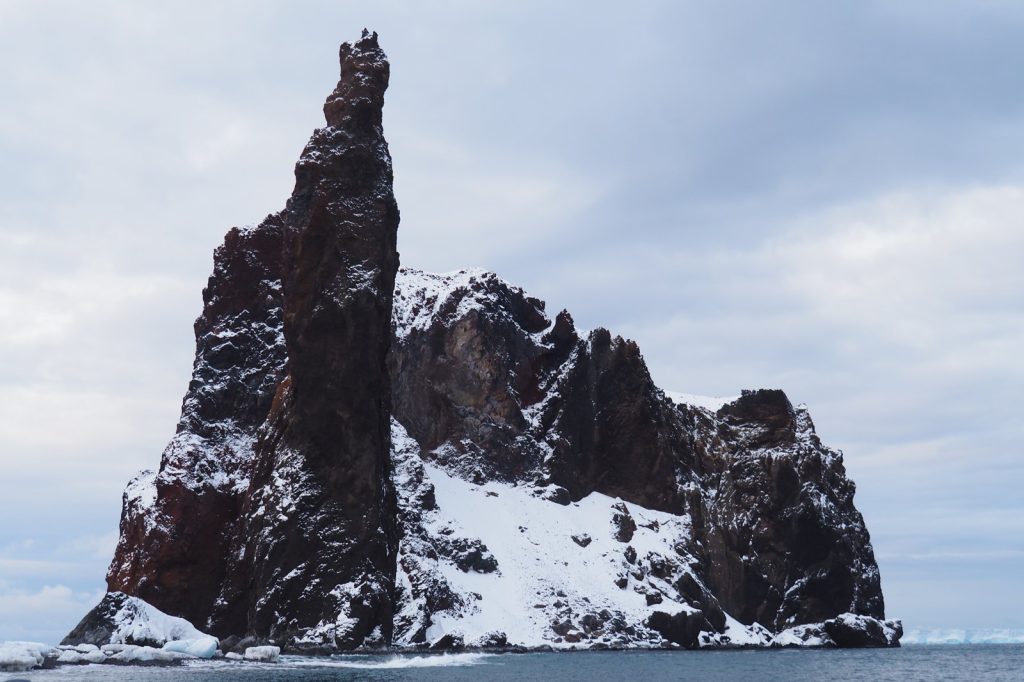
The Balleny Islands region sits on a tectonic knife-edge where the Australian and Antarctic plates grind together. On Wednesday, that boundary produced a magnitude 5.5 earthquake at 19:07 UTC, according to the U.S. Geological Survey. The shaking was shallow — just 10 kilometers down.
No tsunami warning was issued. Shallow earthquakes are a different animal from deep ones.
Seismologists note that events less than 70 kilometers deep typically generate stronger surface shaking than deeper quakes of the same magnitude. At 10 kilometers, this one released its energy right near the surface. That matters because even a moderate magnitude 5.5 can cause minor to moderate damage close to the epicenter when the rupture is that shallow.
The USGS detected the event through its real-time global seismic monitoring network. The agency classifies earthquakes in the magnitude 5 range as moderate.
Aftershocks are common after a quake this size, and seismologists say they may continue for days or weeks. People in the area are generally advised to be prepared for further shaking. The Balleny Islands are remote.
They sit in the Southern Ocean, north of Antarctica, far from major population centers. That distance from cities and towns is a key reason moderate quakes in this region rarely cause headlines. But the seismic record shows this area is anything but quiet.
Over the past two decades, at least 92 earthquakes of magnitude 5.0 or greater have been recorded within roughly 300 kilometers of this event. The strongest among them was a magnitude 6.6 earthquake in 2021.
The tectonic boundary between the Australian and Antarctic plates produces frequent seismic activity. Most events are moderate in size and occur at significant distance from populated areas. The depth of this earthquake, at 10 kilometers, places it firmly in the shallow category.
Shallow earthquakes tend to release energy closer to the surface, which can amplify ground motion. A magnitude 5.5 is not rare here.
The record of 92 quakes of magnitude 5.0 or higher in two decades works out to roughly one every two and a half months. The 2021 magnitude 6.6 event was significantly larger, but the pattern of frequent moderate shaking is consistent. The plates keep moving.
The boundary keeps slipping. The USGS monitors global seismic activity continuously. Its network detected this event in real time.
For seismologists, the data from shallow quakes like this one is valuable. It helps refine models of how energy travels through the crust in this part of the Southern Ocean.
It also feeds into the global understanding of plate boundary behavior. No tsunami warning followed this earthquake. That is standard for a magnitude 5.5 event at this depth and location.
Tsunami-generating quakes typically need to be larger — often magnitude 7.0 or above — and must involve significant vertical displacement of the seafloor. This one did not meet that threshold.
Aftershocks are the next thing to watch. They can be smaller or, in rare cases, nearly as large as the main shock. They can continue for days or weeks.
Seismologists advise caution but not alarm. The Balleny Islands region has seen this pattern before. It will see it again.




