
A magnitude 5.1 earthquake struck 27 kilometers south-southeast of Tambolaka on Sunday at 13:20 UTC, according to the U.S. Geological Survey. The quake, which occurred at a depth of 42.944 kilometers, falls into the shallow category as defined by seismologists — anything shallower than 70 kilometers is considered shallow.
The practical consequence of that depth is significant: shallow earthquakes typically produce stronger shaking at the surface than deeper quakes of the same magnitude, because less of the seismic energy dissipates before reaching the ground. No tsunami warning was issued following the event.
Seismic Context and Historical Activity
For residents near the epicenter, the immediate concern centers on the possibility of aftershocks, which seismologists note are common after an earthquake of this size and may continue for days or even weeks. While a single moderate earthquake typically does not cause widespread alarm in a region accustomed to seismic activity, the pattern of shaking in the coming days will help determine whether this event fades into the background or signals something more significant. At least one person reported feeling the earthquake, according to USGS data, indicating that ground motion was perceptible but not broadly documented through official reports.
Earthquakes in the magnitude 5 range are considered moderate. They can cause minor to moderate damage near the epicenter, but widespread devastation is not typical at this size.
The depth of 42.944 kilometers is a key detail for understanding local impact. The USGS detects events through its real-time global seismic monitoring network, which tracks earthquake activity worldwide as it happens. The agency provides publicly available data on earthquake location, depth, magnitude, and felt reports within minutes of detection.
This monitoring capability is essential for rapid assessment and for guiding public safety decisions. This part of Indonesia sits in seismically active territory, a direct result of its position within the Pacific Ring of Fire.
The USGS records show at least 170 earthquakes of magnitude 5.0 or greater have occurred within about 300 kilometers of this location over the past two decades. The strongest of those was a magnitude 6.6 event in 2009, which serves as a benchmark for the region’s seismic potential. The recurrence of moderate quakes in the area underscores the importance of ongoing monitoring and public preparedness.
Tambolaka’s Role and Regional Setting
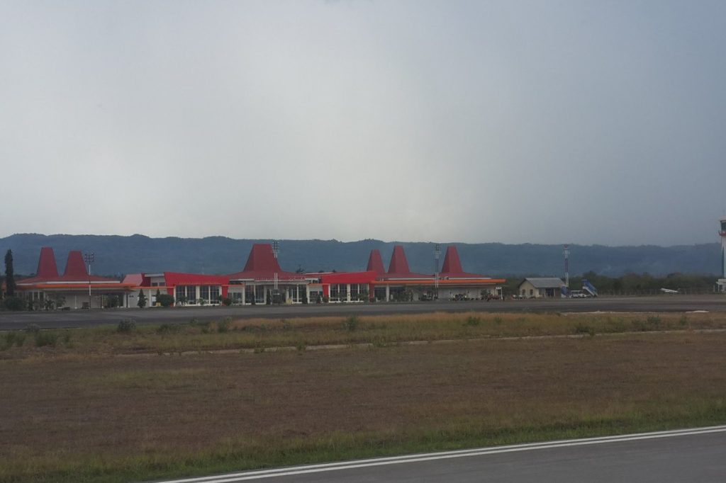
Tambolaka is the administrative capital of Southwest Sumba Regency on Sumba Island, part of Indonesia’s East Nusa Tenggara province. Originally known by its native name Waitabula, the town later adopted the name of its airport, which remains a vital link for the region. The surrounding area blends coastal lowlands with inland highlands, including notable landforms such as Mount Setengah Dewa and the Lendungara plateau.
This geography influences settlement patterns and economic activities. The town functions as a regional hub for governance, trade, and transport, hosting the largest permanent market on Sumba and serving as a connection point for villages along the island’s western coast.
The local economy relies heavily on subsistence agriculture and livestock, with tourism adding a growing dimension tied to natural attractions and cultural events such as the traditional Pasola festival. Understanding Tambolaka’s role as a center of administration and commerce helps explain why seismic events in its vicinity are closely watched: any damage to infrastructure could disrupt supply chains, governance, and access to remote communities.




