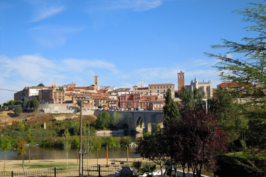
On June 7, 1494, in a small town on the plains of northwestern Spain, two kingdoms sat down and divided most of the planet between them. The Treaty of Tordesillas, concluded between the crowns of Castile and Portugal, drew an imaginary north-south line through the Atlantic and declared that everything Spain had yet to find on one side, and everything Portugal had yet to find on the other, would belong to each crown alone.
The agreement was the work of named envoys rather than the monarchs themselves. Ferdinand and Isabella sent their chief steward Don Enrique Enriques, chief commissary Don Gutierre de Cardenas and Doctor Rodrigo Maldonado; King John II of Portugal, described in the Castilian preamble as “our very dear and very beloved brother,” was represented by Ruy de Sousa, his son Dom Joao de Sousa and Ayres de Almada. In the language of the parchment, the terms were “treated, adjusted, and agreed for us and in our name and by virtue of our power” by envoys acting on royal authority. Spain ratified on July 2, 1494, and Portugal followed on September 5.
A papal line, moved 270 leagues west
The treaty’s direct ancestor was papal. The 1493 bull Inter Caetera had drawn a boundary 100 leagues out from the Azores and Cape Verdes, a distance measured in a unit nobody could pin down with precision. At Tordesillas the negotiators pushed the demarcation 270 leagues farther west, to 370 leagues, some 1,100 miles, from the Cape Verde Islands. The shift was a quiet triumph for Portugal, and it mattered: when Portuguese ships reached the coast of Brazil in 1500, the line gave Lisbon a legal claim to the land whose language and culture it still carries.
The rule itself was blunt. Lands west of the line fell to Spain, lands east of it to Portugal, and both crowns undertook to bring the peoples they met into the Roman Catholic fold, binding the bargain to the missionary ambitions of the age.
An imperfect division
For all its sweep, the treaty left the essential question open. It never fixed how long a league actually was, nor named which of the Cape Verde islands anchored the measurement, so the true position of the line stayed disputed for decades. The peoples who already inhabited the divided lands had no say at all; their borders, trade and futures were reassigned without them.
The framework proved durable all the same. The Treaty of Zaragoza extended the same logic to Asia in 1529, settling rival claims on the other side of the world, and the Tordesillas model became the template for how two European powers carved the globe before ever seeing most of it.
Sources
- Treaty of Tordesillas: A Detailed Summary
- The Avalon Project : Treaty Between Spain and Portugal concluded at Tordesillas; June 7, 1494