A strong, shallow earthquake struck the seafloor southeast of the Loyalty Islands on Sunday at 10:45 a.m. ET (14:45 UTC). Nobody was hurt. No damage and no tsunami threat were reported.
The first wire reports carried a bigger number. Xinhua and Anadolu Agency both ran magnitude 6.7, which came from the USGS automatic preliminary solution, the computer-generated reading produced in the first minutes before seismologists look at the data. After human review the USGS lowered it to 6.3. The European-Mediterranean Seismological Centre arrived at the same final figure, and both agencies put the depth at 10 km. The USGS event number is us7000t01n.
Why the alert was green
The USGS flagged the quake with a green PAGER alert, its lowest tier. Tech Times pointed out that green does not mean the earthquake was mild. PAGER counts people, not shaking. Its green level requires an estimate of fewer than one fatality and under $1 million in economic losses, and when the zones of strong shaking cover open Pacific Ocean, the estimate falls to near zero however hard the seafloor moved.
Put the same rupture directly under Tadine, the main settlement on New Caledonia’s Maré island, and the alert would almost certainly have come out yellow or orange. Yellow starts at one estimated fatality or $1 million in losses. Orange starts at 100 fatalities or $100 million, and red at 1,000 or $1 billion.
Distance did the protecting. The epicenter sat about 400 km east-southeast of Tadine and 429 km south-southeast of Isangel in Vanuatu. Each community has fewer than 10,000 people. PAGER’s regional data says most buildings there are informal structures of metal, timber and galvanized iron, which it describes as “highly vulnerable to earthquake shaking.” Remoteness, not sturdy construction, produced the green result.
The tsunami check
Within minutes, the Pacific Tsunami Warning Center put out a Tsunami Information Statement. No destructive Pacific-wide tsunami was expected, it said, and no public action was required. The U.S. Tsunami Warning System confirmed there was no threat to Guam, American Samoa or Hawaii. The center draws on seismic data from more than 150 cooperating stations and about 500 coastal and deep-ocean sea level stations.
What 10 km means
Depth matters on its own, apart from magnitude. Waves from an earthquake at 10 km cross far less rock before they reach the surface than waves from one at 70 or 100 km, so they lose less energy on the way up and the ground shakes harder. Tech Times said a quake of this size at such a depth falls in the range that can damage poorly built structures near the epicenter.
A busy corridor
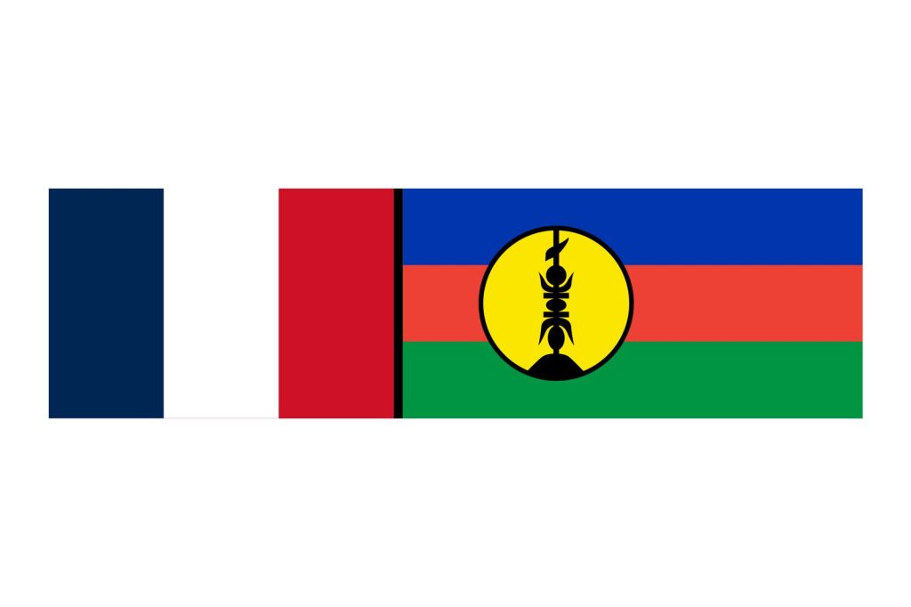
The Loyalty Islands belong to the French territory of New Caledonia, and they sit above one of the most active plate boundaries on Earth. At the South New Hebrides Trench, Australian lithosphere sinks beneath the Pacific plate. The resulting Vanuatu subduction zone runs about 1,600 km from New Caledonia in the south to the Santa Cruz Islands in the north, and convergence in the southern section reaches roughly 120 mm a year.
The record shows it. In the 100 years before the February 2021 magnitude 7.7 Loyalty Islands earthquake, the area within 250 km of Sunday’s epicenter produced 15 other quakes of magnitude 7 or higher.
No aftershock sequence or elevated seismic alert remains in effect. The USGS and EMSC networks are continuing their routine real-time monitoring of the region.