
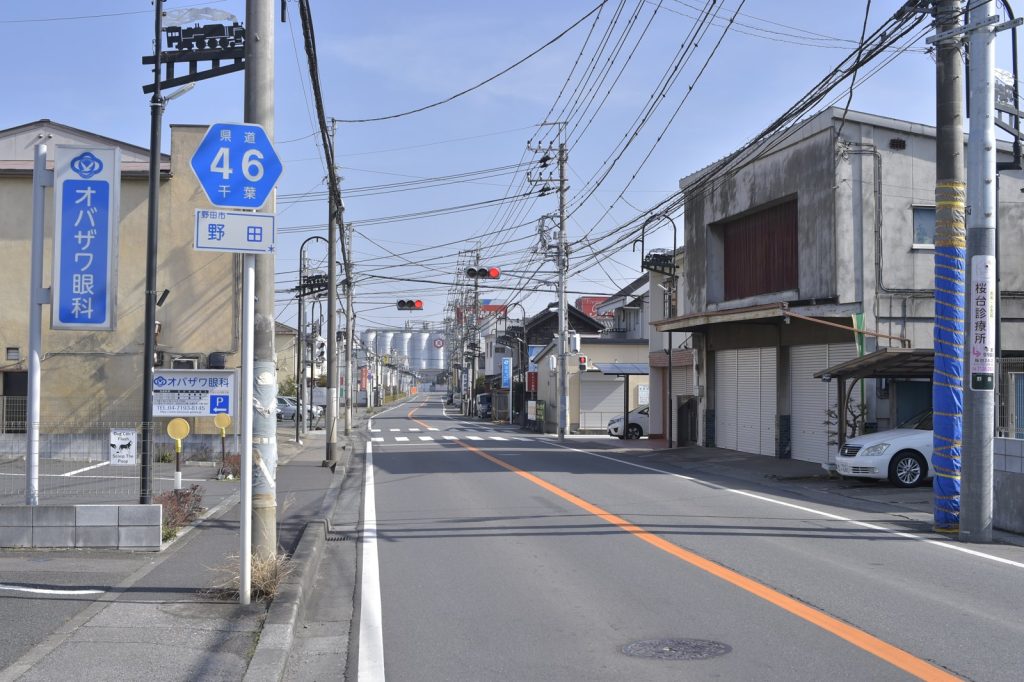
The ground moved with force east of Noda, Japan, on Thursday. At 37.16 kilometers deep, the shaking was shallow. That depth matters.
For people near the epicenter, the jolt would have been sharper than a deeper quake of the same size. The U.S. Geological Survey pegged the event at magnitude 5.9.
It struck at 12:08 UTC. No tsunami warning followed. The immediate question now is damage.
The USGS has no early reports of casualties or structural failure. That is typical.
Moderate earthquakes in the magnitude 5 range can crack walls, topple unsecured objects, and rattle nerves. Actual harm depends on local building codes and the ground beneath each structure. Sandy soil amplifies shaking.
Bedrock dampens it. The affected area sits within a region that knows these forces well. What comes next is aftershocks.
Seismologists expect them. They may stretch for days or even weeks.
Each smaller tremor tests already stressed foundations and frayed nerves. Residents near the epicenter should brace for more motion. The USGS monitoring network remains active.
It will track each subsequent event. This earthquake is not an anomaly.
The USGS records show at least 500 quakes of magnitude 5.0 or greater within 300 kilometers of this location over the past 20 years. That is a steady drumbeat of seismic activity. The largest was the 2011 magnitude 9.1 disaster.
That event reshaped the coastline and triggered a nuclear crisis. Thursday’s quake is far smaller. But it operates on the same tectonic stage.
The Pacific Plate grinds beneath the Philippine Sea Plate along the Japan Trench. That boundary produces constant strain.
Earthquakes release it in bursts. For local authorities, the clock starts now. They will survey roads, bridges, and buildings.
They will check for gas leaks and power outages. They will assess whether hospitals and schools held up.
The USGS provides the raw data. Local governments provide the ground truth. That information typically emerges in the hours after a moderate quake.
It takes time to reach every village and every damaged structure. The depth of this event—37.16 kilometers—is a key detail. Shallow quakes, those less than 70 kilometers deep, concentrate energy near the surface.
A magnitude 5.9 at that depth can feel far stronger than a deeper quake of the same magnitude. That is physics.
It is also why residents may have felt a more violent shake than the number alone suggests. The region is not unprepared. Japan enforces some of the world’s strictest seismic building codes.
Infrastructure is designed to flex and absorb motion. Early warning systems can cut train speeds and halt factory machinery before the strongest waves arrive.
But no system is perfect. Older structures, unreinforced masonry, and steep hillsides remain vulnerable. The full picture of damage will only become clear as daylight and local reports fill in the gaps.
The USGS continues to monitor. Its global seismic network detected this event in real time. That network is the backbone of earthquake science.
It turns ground motion into data. Data into warnings.
Warnings into action. For those in the affected zone, the immediate concern remains the possibility of further shaking. Aftershocks are not a certainty.
They are a likelihood. The ground has not settled yet.




