
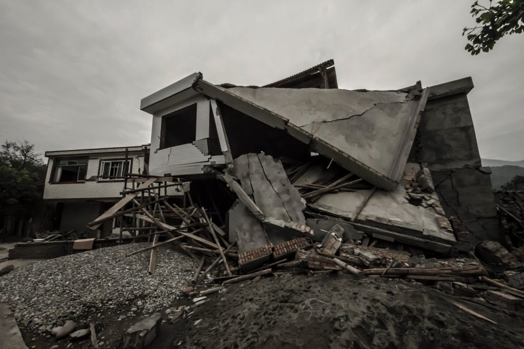
A moderate earthquake with a magnitude of 5.0 rattled a region of southwestern China early this morning, according to data from the U.S. Geological Survey. The tremor struck at 02:08 UTC, with its epicenter located 15 kilometres north-northeast of Xunchang, a county in Sichuan province. The USGS placed the quake’s depth at 10 kilometres, making it a shallow event.
Seismologists classify earthquakes shallower than 70 kilometres as shallow, and such events typically produce stronger shaking at the surface than deeper quakes of equal magnitude. For a magnitude 5.0 earthquake, that shallow depth means the potential for minor to moderate damage near the epicenter is real, though not catastrophic.
The USGS detected the event through its real-time global seismic monitoring network, which provides continuous coverage around the world.
Geologic Setting and Regional Seismic History
The earthquake struck a region that sits along the Longmenshan fault zone, a major tectonic boundary where the Indian plate drives northward into the Eurasian plate. This collision has built the Himalayan mountains and continues to stress the crust across a wide area. The same geologic pressure has produced some of the most destructive earthquakes in modern Chinese history.
In 2008, a massive earthquake centered about two hundred kilometres north of Xunchang leveled entire towns and killed tens of thousands of people. That event, known as the Wenchuan earthquake, remains a defining disaster for Sichuan province.
Since then, smaller but still damaging tremors have occurred repeatedly along the same fault system. Seismologists consider the Longmenshan zone one of the most active and hazardous in China. The USGS records show that at least 50 earthquakes of magnitude 5.0 or greater have occurred within about 300 kilometres of the Xunchang area over the past two decades.
The strongest among them was a magnitude 6.6 quake in 2022. Xunchang itself has experienced moderate shaking many times over the decades.
A shallow earthquake like the one that struck just before dawn releases energy closer to the surface, and that proximity often means stronger ground motion than a deeper quake of the same magnitude.
Aftershock Risk and Monitoring
What researchers and seismologists watch for next is the possibility of aftershocks. Following an earthquake of this size, aftershocks are common and may continue for days or weeks.
People in the affected area are generally advised to be prepared for further shaking. For residents, the risk is not just the initial jolt but the days of aftershocks that frequently follow. The USGS will continue to monitor the region through its seismic network for any subsequent events.
No tsunami warning was issued following the quake, consistent with its inland location and moderate size. The USGS data provides a clear picture of the event’s parameters, but the full extent of any damage or injuries will emerge in the hours and days ahead as local authorities assess the situation.




