
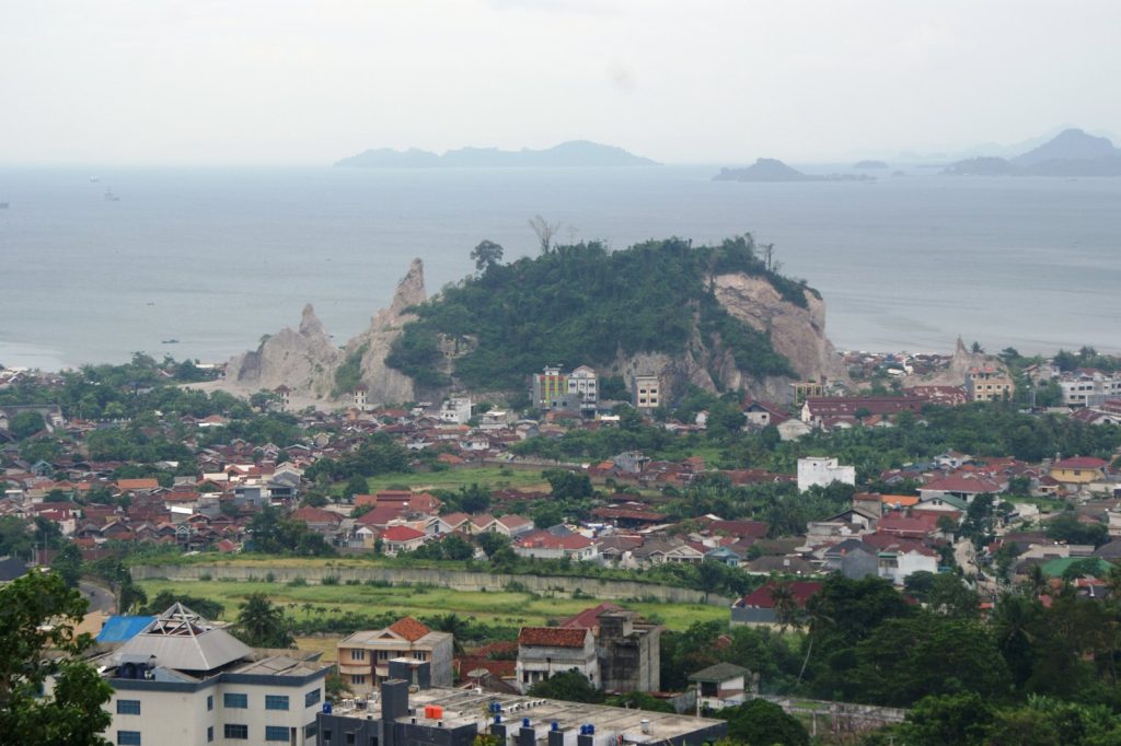
BANDAR LAMPUNG, June 27 — A magnitude 5.1 earthquake struck 112 kilometres southwest of Bandar Lampung, Indonesia, on Saturday evening, the U.S. Geological Survey reported. The quake hit at 21:10 UTC at a depth of 10 kilometres, making it a shallow event. Shallow earthquakes, those less than 70 kilometres deep, typically produce stronger shaking at the surface than deeper ones of the same magnitude, according to seismologists.
For communities in the region, this means the tremor would have been felt more intensely than a deeper quake of similar size. No tsunami warning was issued following the earthquake.
The USGS detected the event through its real-time global seismic monitoring network, providing rapid information to authorities and the public. The area is no stranger to seismic activity. At least 266 earthquakes of magnitude 5.0 or greater have been recorded within about 300 kilometres over the past two decades, the USGS data shows.
The strongest among them was a magnitude 6.9 quake in 2019. For families across southern Sumatra and the Lampung region, earthquakes are a familiar part of life.
This latest event, while moderate in scale, serves as a reminder of the active tectonic forces beneath the region. Earthquakes in the magnitude 5 range are considered moderate and can cause minor to moderate damage near the epicentre. The depth of 10 kilometres places this quake in the shallow category, where energy release is more concentrated at the surface.
Seismologists note that aftershocks are common following an earthquake of this size and may continue for days or weeks. People in the affected area are generally advised to be prepared for further shaking. For communities living and working along the southwestern coast of Sumatra, the evening tremor would have been a jarring experience.
The timing, just after 4 AM local time on June 28, would have caught many people at home with their families. The USGS continues to monitor the region for any subsequent seismic activity.
Their global network provides real-time data that helps scientists understand earthquake patterns and behaviour. What this means for people in the affected area is a period of heightened awareness. With aftershocks possible in the days and weeks ahead, residents are encouraged to stay informed through official channels and to review basic earthquake safety measures.
The magnitude 5.1 event adds to the long seismic record of this tectonically active corner of Indonesia. The Sunda Trench, where the Indo-Australian plate slides beneath the Eurasian plate, generates frequent earthquakes of varying sizes.
For now, the immediate concern for families across the region is the possibility of aftershocks. The USGS data provides a clear picture of the event, helping communities and authorities respond appropriately to the situation.




