
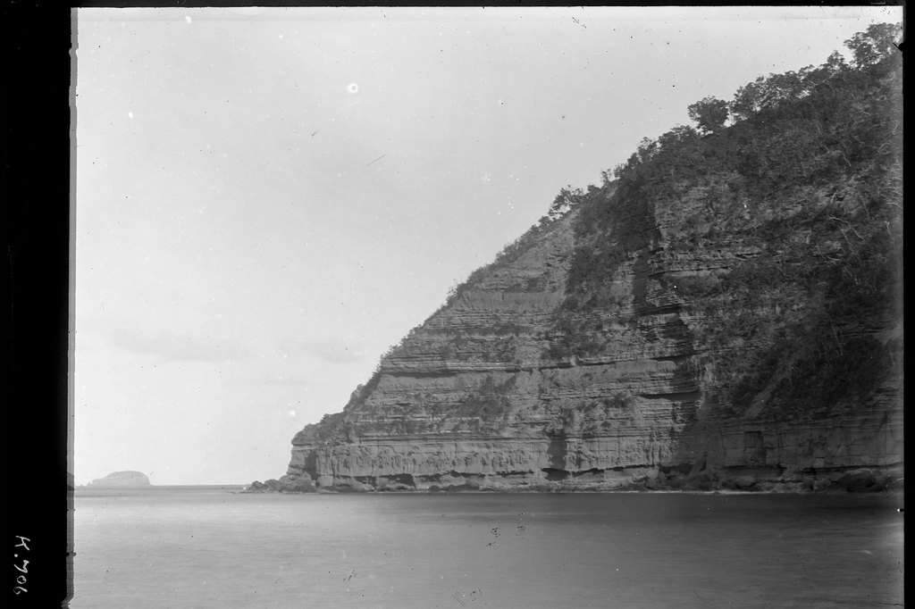
The Kermadec Islands region shook again on July 17. A magnitude 5.0 earthquake hit at 13:16 UTC, according to the U.S. Geological Survey. It was shallow — just 10 kilometers deep.
No tsunami warning came. No immediate reports of damage or injury surfaced.
This is routine for a part of the world that rattles constantly. Look at the numbers. The USGS data shows at least 500 earthquakes of magnitude 5.0 or greater have hit within about 300 kilometers of this spot over the last two decades.
That is more than two dozen per year. The strongest was a magnitude 7.4 quake in 2020.
A 5.0 is moderate. It can cause minor to moderate damage near the epicenter. But in this remote island chain, far from dense population, the shaking likely went unnoticed by most people.
The depth matters. Ten kilometers is shallow. Seismologists classify anything under 70 kilometers as shallow.
These events produce stronger shaking at the surface than deeper ones of the same size. The energy travels a short distance through the crust.
It arrives fast and sharp. A deeper 5.0 might feel like a rumble. A shallow one can knock things off shelves.
The USGS recorded this one as shallow, meaning the ground moved more violently than a deeper quake would have. Compare it to the 2020 event.
That was a 7.4 — more than 500 times larger in energy release. A 7.4 can cause widespread damage. The 5.0 is a reminder of the region’s constant activity, not a crisis.
Aftershocks are common after a quake this size. The record shows they may continue for days or weeks. People in the area are generally advised to be prepared for further shaking.
The USGS detected this earthquake through its real-time global seismic monitoring network. That network provides precise time, location, depth, and magnitude.
It is the same system that caught the 7.4 in 2020 and hundreds of others. The data is consistent. The pattern is clear.
The Kermadec region sits on a tectonic boundary where the Pacific Plate dives under the Australian Plate. That subduction zone produces frequent earthquakes.
Some are small. Some are large. All are part of a continuous geological process.
What does a 5.0 teach? It teaches that moderate shaking happens often. It teaches that shallow quakes feel worse than deep ones.
It teaches that aftershocks follow. The USGS data does not predict the next one.
It only records what happened. But the history says this: another quake will come. Maybe tomorrow.
Maybe next month. Maybe a year from now.
The region has seen at least 500 magnitude 5.0 or greater events in 20 years. That is a reliable rhythm. No tsunami warning was issued.
That makes sense. Magnitude 5.0 earthquakes rarely generate tsunamis. The energy is too small to displace enough water.
The 2020 7.4 did not trigger a destructive tsunami either, though it was large enough to do so. The USGS monitors for that threat.
They found none. The Kermadec Islands are seismically active. That is a fact.
The USGS records prove it. The 5.0 on July 17 is one data point in a long line.
It is not unusual. It is not alarming. It is just another shake in a shaky place.




