
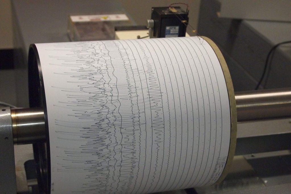
A moderate earthquake with a magnitude of 5.5 occurred in the remote southern East Pacific Rise on Sunday, the U.S. Geological Survey reported. The temblor struck at 07:29 UTC on July 12, 2026, at a depth of 10 kilometers.
The USGS, which detected the event through its real-time global seismic monitoring network, said no tsunami warning has been issued.
Shallow quake, moderate impact
This event is classified as a shallow earthquake, given its depth of just 10 kilometers. Seismologists note that shallow earthquakes — those occurring less than 70 kilometers below the surface — typically produce stronger shaking at the surface than deeper quakes of the same magnitude.
The magnitude 5.5 places it in the moderate range on the seismic scale, where earthquakes of magnitude 5 can cause minor to moderate damage near the epicenter. Because the event took place in an open-ocean region far from populated landmasses, the immediate risk of damage or injury is low, but the geological context remains significant. The southern East Pacific Rise is a seismically active area. According to USGS data, at least 49 earthquakes of magnitude 5.0 or greater have been recorded within roughly 300 kilometers of this location over the past two decades.
The strongest among them was a magnitude 6.6 event, which also occurred in 2026. Seismologists caution that aftershocks are common following an earthquake of this size.
These secondary tremors may continue for days or weeks. People in the affected area — which, due to the remote oceanic location, includes primarily scientific and maritime interests — are generally advised to be prepared for further shaking.
Tectonic context: the East Pacific Rise
The East Pacific Rise is a mid-ocean divergent boundary where tectonic plates pull apart, allowing magma to rise from the mantle and form new oceanic crust. This underwater mountain range stretches from the Gulf of California southward across the Pacific Ocean, marking the separation between the Pacific Plate and several neighboring plates, including the Nazca, Cocos, and Antarctic plates.
This boundary is part of a global system of mid-ocean ridges created by seafloor spreading, a process central to the theory of plate tectonics. The upwelling of mantle material at this divergent plate boundary shapes the Pacific seafloor and influences geological hazards along adjacent continents. Subduction of plates formed at the rise contributes to volcanic arcs and earthquakes in regions such as the Andes and Central America.
The southern section of the rise connects to the Pacific-Antarctic Ridge, extending the system toward the Southern Ocean. Understanding the dynamics of this region helps scientists explain patterns of seismic activity, volcanic formation, and the ongoing expansion of the ocean basin.
Ongoing monitoring and preparedness
The U.S. Geological Survey continues to monitor the region through its global seismic network, which provides real-time data that helps scientists track these events and issue timely information. For now, the key message from seismologists is one of preparedness: aftershocks are likely, and those in the vicinity should remain alert. The shallow depth of this earthquake — just 10 kilometers down — means that any energy released is closer to the surface, which can amplify shaking in the immediate area.
While the remote location minimizes direct human impact, the event serves as a reminder of the persistent tectonic activity along the East Pacific Rise and the value of continuous seismic surveillance by USGS and partner agencies.




